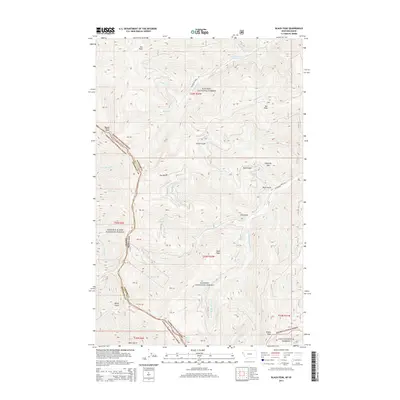
2014 Map of Black Peak
USGS Topo · Published 2014About this map
The Idaho-Montana border runs through this high-country terrain, marking a boundary that separates Shoshone County from Sanders County. The landscape is dominated by the intersection of three major federal land reserves: Kaniksu National Forest, Coeur D'Alene National Forest, and Lolo National Forest. These forests are defined by a series of prominent summits including Black Peak, Sex Peak, and Emma Peak, which anchor the high ridges above a complex network of drainages.
Find a feature on this map
39 named features on this map. Tap any name to fly to it.
Don’t see what you’re looking for? This feature index may not catch every label — zoom into the map to look around manually.
Map Details
Editions of this 2014 Black Peak Map
This is the sole edition of this map. No revisions or reprints were ever made.
Other maps of this area

1901 · Coeur D'Alene District
USGS Topo · 1:62,500

1903 · Coeur D'Alene District
USGS Topo · 1:62,500

1906 · Coeur D'Alene District
USGS Topo · 1:62,500

1932 · Trout Creek
USGS Topo · 1:125,000

1935 · Trout Creek
USGS Topo · 1:125,000

1936 · Trout Creek
USGS Topo · 1:125,000

1956 · Cooper Gulch
USGS Topo · 1:62,500

1956 · Wallace
USGS Topo · 1:250,000

1957 · Burke
USGS Topo · 1:62,500

1960 · Wallace
USGS Topo · 1:250,000