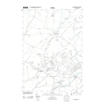
2013 Map of Black River
USGS Topo · Published 2013About this map
Evans Mills and the winding Black River anchor this topographic view of Jefferson County, where the landscape is marked by a network of historic crossroads and agricultural settlements. The area shows a transition from the established villages of Felts Mills and Calcium to the smaller hamlets of Dutch Settlement and Gould Corners. Genealogists will find numerous family-history markers, including Hoover Cem, Sanford Corners Cem, and the Sheepfold Cem located near Saint James Lake.
Find a feature on this map
176 named features on this map. Tap any name to fly to it.
Don’t see what you’re looking for? This feature index may not catch every label — zoom into the map to look around manually.
Map Details
Editions of this 2013 Black River Map
This is the sole edition of this map. No revisions or reprints were ever made.
Other maps of this area

1895 · Watertown
USGS Topo · 1:62,500

1898 · Watertown
USGS Topo · 1:62,500

1902 · Carthage
USGS Topo · 1:62,500

1903 · Theresa
USGS Topo · 1:62,500

1904 · Carthage
USGS Topo · 1:62,500

1908 · Watertown
USGS Topo · 1:62,500

1909 · Watertown
USGS Topo · 1:62,500

1911 · Antwerp
USGS Topo · 1:62,500

1942 · Copenhagen
USGS Topo · 1:24,000
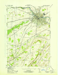
1943 · Watertown
USGS Topo · 1:31,680