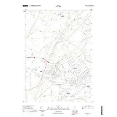
2019 Map of Black River
USGS Topo · Published 2019About this map
Fort Drum dominates the central landscape, showing the modern layout of this major military installation alongside the historic villages of Jefferson County. The map details the complex road network within the base, including Enduring Freedom Drive and Mount Belvedere Boulevard, which contrast with the older rural patterns of Dutch Settlement to the north. Waterways like the Indian River and West Creek define the local drainage, leading toward the Black River where industrial-era remnants are found at Felts Mills and Poors Island. Genealogy researchers will find several small burial sites, such as Hoover Cemetery and Quaker Cemetery, tucked between the sprawling infrastructure. The transition from the rural hamlet of Calcium to the concentrated facilities of the fort illustrates the 21st-century character of this strategic northern New York corridor.
Find a feature on this map
170 named features on this map. Tap any name to fly to it.
Don’t see what you’re looking for? This feature index may not catch every label — zoom into the map to look around manually.
Map Details
Editions of this 2019 Black River Map
This is the sole edition of this map. No revisions or reprints were ever made.
Other maps of this area

1895 · Watertown
USGS Topo · 1:62,500

1898 · Watertown
USGS Topo · 1:62,500

1902 · Carthage
USGS Topo · 1:62,500

1903 · Theresa
USGS Topo · 1:62,500

1904 · Carthage
USGS Topo · 1:62,500

1908 · Watertown
USGS Topo · 1:62,500

1909 · Watertown
USGS Topo · 1:62,500

1911 · Antwerp
USGS Topo · 1:62,500

1942 · Copenhagen
USGS Topo · 1:24,000
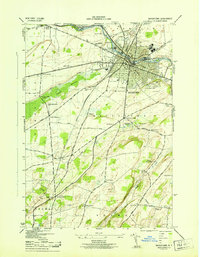
1943 · Watertown
USGS Topo · 1:31,680