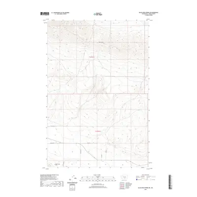
2020 Map of Black Rock Spring SW
USGS Topo · Published 2020About this map
Yakima Ridge dominates the northern horizon of this Yakima County landscape, marking a prominent structural fold in the terrain. To the south, the Rattlesnake Hills rise as a parallel geologic feature, defining a broad valley shaped by the arid conditions of the region. The map captures a transition between the elevated ridges and the lower drainage areas where Selah Cr cuts through the northeast corner. While the high ground remains largely undeveloped, the southern portion of the sheet shows a network of rural access roads, including Den Beste Rd, Desmarais Rd, and Suntargets Rd, suggesting the incremental expansion of rural homesteads or agricultural tracts near the base of the hills. The survey reflects the contemporary land divisions of t13n r21e and t12n r21e, illustrating how modern infrastructure follows the ancient contours of the basalt ridges.
Find a feature on this map
11 named features on this map. Tap any name to fly to it.
Don’t see what you’re looking for? This feature index may not catch every label — zoom into the map to look around manually.
Map Details
Editions of this 2020 Black Rock Spring SW Map
This is the sole edition of this map. No revisions or reprints were ever made.
Other maps of this area

1910 · Zillah
USGS Topo · 1:125,000

1936 · Yakima East
USGS Topo · 1:48,000

1936 · Hog Ranch Buttes
USGS Topo · 1:48,000

1941 · Black Rock Spring
USGS Topo · 1:62,500

1941 · Yakima East
USGS Topo · 1:62,500

1950 · Yakima
USGS Topo · 1:250,000
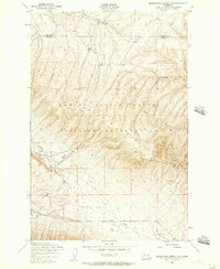
1953 · Black Rock Spring NW
USGS Topo · 1:24,000
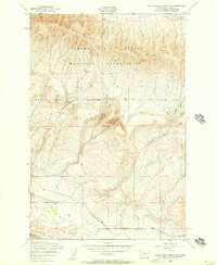
1953 · Black Rock Spring SW
USGS Topo · 1:24,000

1953 · Elephant Mountain
USGS Topo · 1:24,000
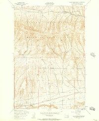
1953 · Black Rock Spring
USGS Topo · 1:24,000