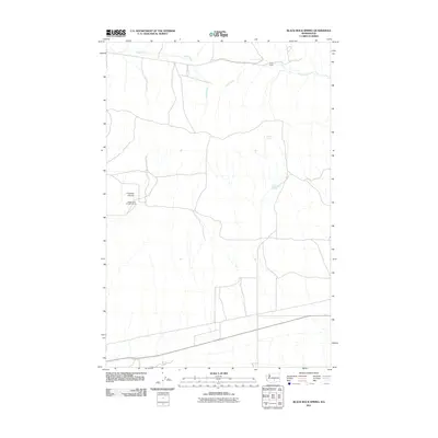
2011 Map of Black Rock Spring
USGS Topo · Published 2011About this map
Black Rock Spring and Nelson Spring anchor this arid Yakima County landscape, where water sources dictated the placement of early 21st-century cattle operations. The terrain is defined by the incision of Firewater Canyon and the courses of Selah Creek and Cold Creek, which provide the primary drainage for this high-desert plateau. This area illustrates the persistence of large-scale ranching in Washington's interior, evidenced by named holdings like the Coffin Ranch and the MacIntosh-Douglas Ranch. The map reveals a sparse network of local roads and 4WD tracks that connect these remote outposts to the wider region, reflecting the low-density land use and topographic constraints of the central Washington steppe.
Find a feature on this map
7 named features on this map. Tap any name to fly to it.
Don’t see what you’re looking for? This feature index may not catch every label — zoom into the map to look around manually.
Map Details
Editions of this 2011 Black Rock Spring Map
This is the sole edition of this map. No revisions or reprints were ever made.
Other maps of this area

1910 · Zillah
USGS Topo · 1:125,000

1915 · Prosser
USGS Topo · 1:125,000

1917 · Priest Rapids
USGS Topo · 1:62,500

1917 · Prosser
USGS Topo · 1:125,000

1936 · Hog Ranch Buttes
USGS Topo · 1:48,000

1941 · Black Rock Spring
USGS Topo · 1:62,500

1948 · Cairn Hope Peak
USGS Topo · 1:24,000

1948 · Priest Rapids
USGS Topo · 1:24,000

1950 · Yakima
USGS Topo · 1:250,000

1950 · Grandview
USGS Topo · 1:62,500