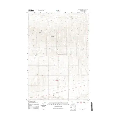
2013 Map of Black Rock Spring
USGS Topo · Published 2013About this map
Yakima Training Center dominates the high desert landscape of this 2013 survey, reflecting the deep-rooted military and ranching history of eastern Washington. The terrain is defined by the prominent Yakima Ridge, which separates the seasonal drainage of Selah Cr to the north from the broad Black Rock Valley in the south. Local water sources like Black Rock Spring and Nelson Spring have long been critical landmarks in this arid environment, once supporting isolated homesteads such as Coffin Ranch and the Mackintosh-Douglas Ranch. The modern alignment of Wa-24 cuts across the southern portion of the quadrangle, following the natural corridor through the valley and providing a clear contrast between contemporary infrastructure and the rugged features of Firewater Canyon.
Find a feature on this map
13 named features on this map. Tap any name to fly to it.
Don’t see what you’re looking for? This feature index may not catch every label — zoom into the map to look around manually.
Map Details
Editions of this 2013 Black Rock Spring Map
This is the sole edition of this map. No revisions or reprints were ever made.
Other maps of this area

1910 · Zillah
USGS Topo · 1:125,000

1915 · Prosser
USGS Topo · 1:125,000

1917 · Priest Rapids
USGS Topo · 1:62,500

1917 · Prosser
USGS Topo · 1:125,000

1936 · Hog Ranch Buttes
USGS Topo · 1:48,000

1941 · Black Rock Spring
USGS Topo · 1:62,500

1948 · Cairn Hope Peak
USGS Topo · 1:24,000

1948 · Priest Rapids
USGS Topo · 1:24,000

1950 · Yakima
USGS Topo · 1:250,000

1950 · Grandview
USGS Topo · 1:62,500