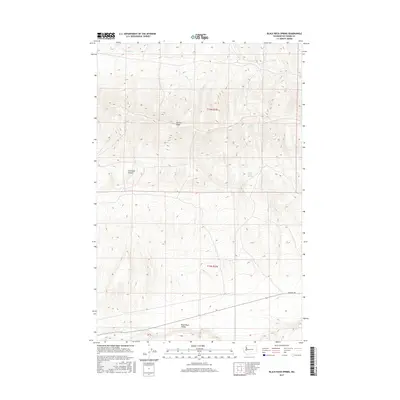
2017 Map of Black Rock Spring
USGS Topo · Published 2017About this map
Yakima Ridge dominates this portion of Yakima County, where the high desert terrain defines a landscape of seasonal drainages and vital water sources. The map captures a transition from the elevated ridgeline down into the Black Rock Valley to the south. Historically significant water points like Black Rock Spring and Nelson Spring appear as critical features in an otherwise arid environment, while Selah Cr and Cold Cr carve through the northern sections. The presence of Hanford Rd in the southeast quadrant provides a glimpse into the regional infrastructure connecting these remote ranching or conservation lands. This 2017 survey reflects the enduring character of the high country, where named landmarks like Firewater Canyon serve as essential navigational markers for those tracing land use or natural history in the t13n r22e and t12n r22e townships.
Find a feature on this map
10 named features on this map. Tap any name to fly to it.
Don’t see what you’re looking for? This feature index may not catch every label — zoom into the map to look around manually.
Map Details
Editions of this 2017 Black Rock Spring Map
This is the sole edition of this map. No revisions or reprints were ever made.
Other maps of this area

1910 · Zillah
USGS Topo · 1:125,000

1915 · Prosser
USGS Topo · 1:125,000

1917 · Priest Rapids
USGS Topo · 1:62,500

1917 · Prosser
USGS Topo · 1:125,000

1936 · Hog Ranch Buttes
USGS Topo · 1:48,000

1941 · Black Rock Spring
USGS Topo · 1:62,500

1948 · Cairn Hope Peak
USGS Topo · 1:24,000

1948 · Priest Rapids
USGS Topo · 1:24,000

1950 · Yakima
USGS Topo · 1:250,000

1950 · Grandview
USGS Topo · 1:62,500