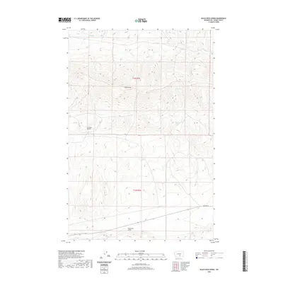
2020 Map of Black Rock Spring
USGS Topo · Published 2020About this map
Yakima Ridge dominates the northern landscape of this region, serving as a prominent geographical divide above the wide expanse of Black Rock Valley to the south. This terrain is defined by its arid drainages, where ephemeral water sources like Selah Cr and Cold Cr carve through the high desert floor. The importance of water in this environment is signaled by isolated locations such as Nelson Spring and Black Rock Spring, which historically provided essential points of relief in an otherwise dry corridor. To the west, the deeply recessed Firewater Canyon cuts into the ridge, while the southern reach of the map is traversed by Hanford Rd, a critical transit route connecting these remote valley lands. The survey reflects a sparsely populated area where natural topography and vital springs dictated the movement and settlement patterns of the day.
Find a feature on this map
10 named features on this map. Tap any name to fly to it.
Don’t see what you’re looking for? This feature index may not catch every label — zoom into the map to look around manually.
Map Details
Editions of this 2020 Black Rock Spring Map
This is the sole edition of this map. No revisions or reprints were ever made.
Other maps of this area

1910 · Zillah
USGS Topo · 1:125,000

1915 · Prosser
USGS Topo · 1:125,000

1917 · Priest Rapids
USGS Topo · 1:62,500

1917 · Prosser
USGS Topo · 1:125,000

1936 · Hog Ranch Buttes
USGS Topo · 1:48,000

1941 · Black Rock Spring
USGS Topo · 1:62,500

1948 · Cairn Hope Peak
USGS Topo · 1:24,000

1948 · Priest Rapids
USGS Topo · 1:24,000

1950 · Yakima
USGS Topo · 1:250,000

1950 · Grandview
USGS Topo · 1:62,500