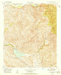
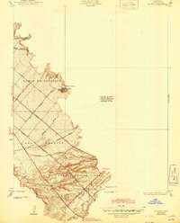
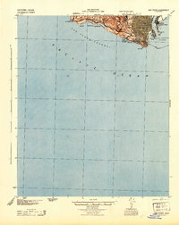
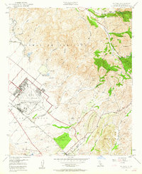
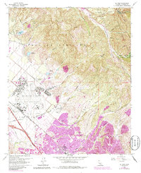
1949 Map of Black Star Canyon
USGS Topo · Published 1955This historical map portrays the area of Black Star Canyon in 1949, primarily covering Orange as well as portions of Riverside County and San Bernardino County. Featuring a scale of 1:24000, this map provides a highly detailed snapshot of the terrain, roads, buildings, counties, and historical landmarks in the Black Star Canyon region at the time. Published in 1955, it is one of 2 known editions of this map due to revisions or reprints.
Find a feature on this map
36 named features on this map. Tap any name to fly to it.
Don’t see what you’re looking for? This feature index may not catch every label — zoom into the map to look around manually.
Map Details
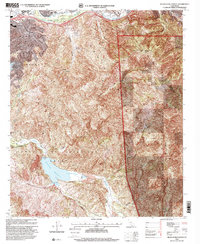
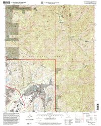
Editions of this 1949 Black Star Canyon Map
2 editions found
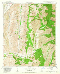
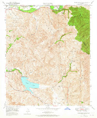
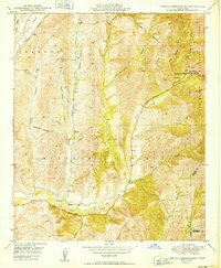
Historical Maps of Corona Through Time
28 maps found
1896 Las Bolsas
Orange County, CA
1896 San Pedro
Orange County, CA
1902 Capistrano
Orange County, CA

1906 Capistrano
Orange County, CA
1935 El Toro
Orange County, CA

1935 Olinda
Orange County, CA
1941 Las Bolsas
Orange County, CA
1942 Santiago Peak
Orange County, CA
1943 Las Bolsas
Orange County, CA
1944 San Pedro
Orange County, CA
1948 Canada Gobernadora
Orange County, CA
1949 Black Star Canyon
Orange County, CA
1949 Canada Gobernadora
Orange County, CA
1949 El Toro
Orange County, CA

1950 Black Star Canyon
Orange County, CA

1950 El Toro
Orange County, CA
1954 Santiago Peak
Orange County, CA
1967 Black Star Canyon
Orange County, CA
1968 Canada Gobernadora
Orange County, CA
1968 El Toro
Orange County, CA

1974 Black Star Canyon
Orange County, CA

1974 Canada Gobernadora
Orange County, CA

1974 El Toro
Orange County, CA

1974 Santiago Peak
Orange County, CA
1997 Black Star Canyon
Orange County, CA

1997 Canada Gobernadora
Orange County, CA

1997 El Toro
Orange County, CA
1997 Santiago Peak
Orange County, CA