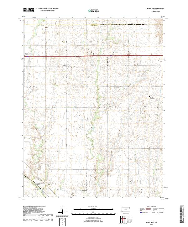
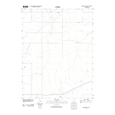
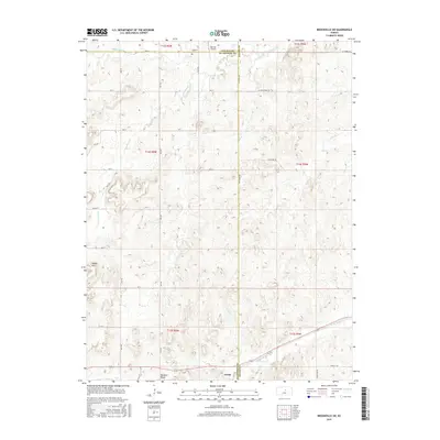
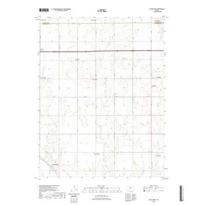
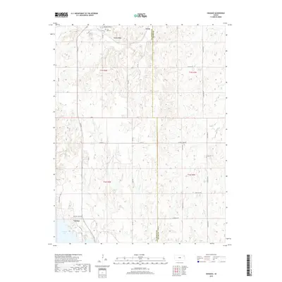
2022 Map of Black Wolf
USGS Topo · Published 2022About this map
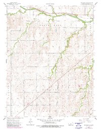
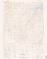
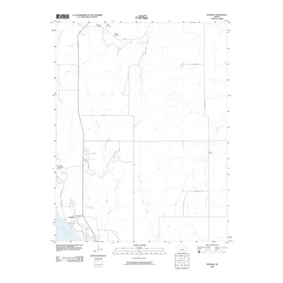
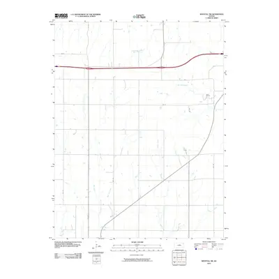
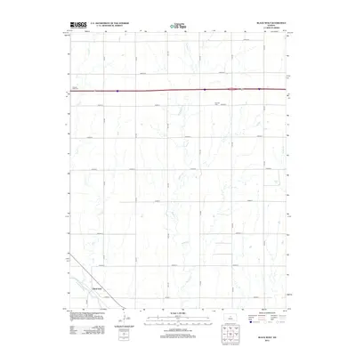
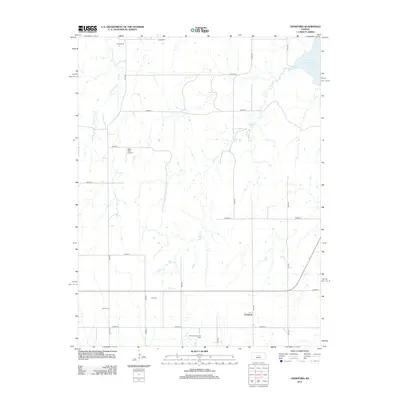
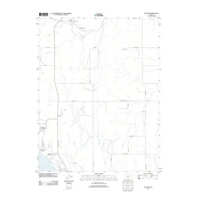
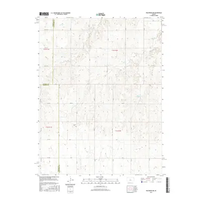
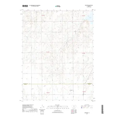
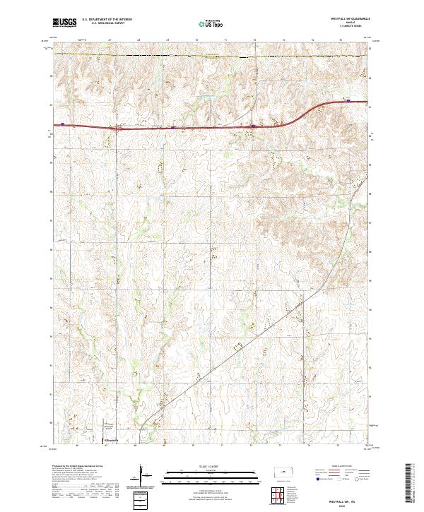
Black Wolf sits at the southwestern edge of this landscape, positioned where Old Hwy 40 meets the drainage of the Smoky Hill River. The area is characterized by a high concentration of denominational and community burial sites, including the Excelsior Lutheran Cem and Saint Pauls Lutheran Cem, which reflect the early settlement patterns and immigrant heritage of this central Kansas region. Waterways like Buffalo Cr and Cow Cr carve through the sectioned agricultural land, defining the drainage towards the river. The map records the precise grid of county roads, such as Ave A at the Lincoln Co line and 13th Rd, providing a clear look at the rural infrastructure and land divisions that have persisted in Ellsworth County.
Find a feature on this map
27 named features on this map. Tap any name to fly to it.
Don’t see what you’re looking for? This feature index may not catch every label — zoom into the map to look around manually.
Map Details
Editions of this 2022 Black Wolf Map
This is the sole edition of this map. No revisions or reprints were ever made.
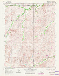
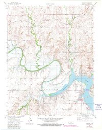
Historical Maps of Black Wolf Through Time
60 maps found
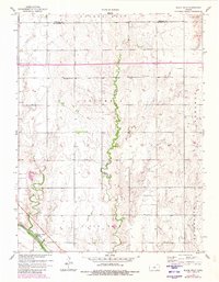
1957 Black Wolf
Ellsworth County, KS
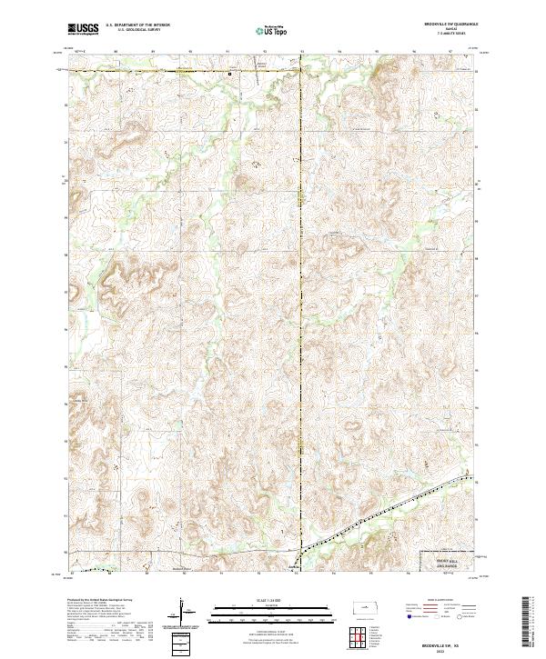
1957 Brookville SW
Ellsworth County, KS
1957 Carneiro
Ellsworth County, KS
1957 Holyrood NE
Ellsworth County, KS
1957 Venango
Ellsworth County, KS
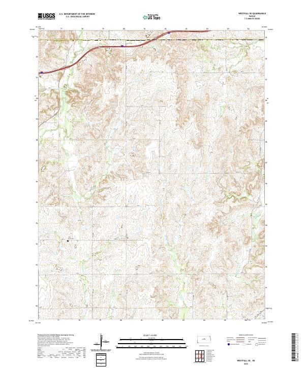
1957 Westfall SE
Ellsworth County, KS
1957 Westfall SW
Ellsworth County, KS
1964 Crawford
Ellsworth County, KS
1964 Holyrood NW
Ellsworth County, KS
1964 Langley
Ellsworth County, KS
2009 Black Wolf
Ellsworth County, KS
2009 Brookville SW
Ellsworth County, KS
2009 Holyrood NE
Ellsworth County, KS
2009 Holyrood NW
Ellsworth County, KS
2009 Langley
Ellsworth County, KS
2009 Venango
Ellsworth County, KS
2009 Westfall SE
Ellsworth County, KS
2010 Carneiro
Ellsworth County, KS
2010 Crawford
Ellsworth County, KS
2010 Westfall SW
Ellsworth County, KS
2012 Black Wolf
Ellsworth County, KS
2012 Brookville SW
Ellsworth County, KS
2012 Carneiro
Ellsworth County, KS
2012 Crawford
Ellsworth County, KS
2012 Holyrood NE
Ellsworth County, KS
2012 Holyrood NW
Ellsworth County, KS
2012 Langley
Ellsworth County, KS
2012 Venango
Ellsworth County, KS
2012 Westfall SE
Ellsworth County, KS
2012 Westfall SW
Ellsworth County, KS
2015 Black Wolf
Ellsworth County, KS
2015 Brookville SW
Ellsworth County, KS
2015 Carneiro
Ellsworth County, KS
2015 Crawford
Ellsworth County, KS
2015 Holyrood NE
Ellsworth County, KS
2015 Holyrood NW
Ellsworth County, KS
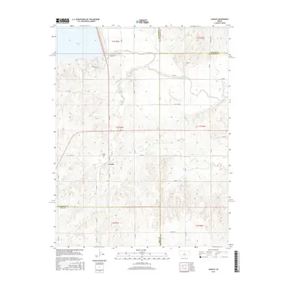
2015 Langley
Ellsworth County, KS
2015 Venango
Ellsworth County, KS
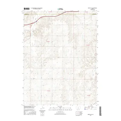
2015 Westfall SE
Ellsworth County, KS
2015 Westfall SW
Ellsworth County, KS
2018 Black Wolf
Ellsworth County, KS
2018 Brookville SW
Ellsworth County, KS
2018 Carneiro
Ellsworth County, KS
2018 Crawford
Ellsworth County, KS
2018 Holyrood NE
Ellsworth County, KS
2018 Holyrood NW
Ellsworth County, KS
2018 Langley
Ellsworth County, KS
2018 Venango
Ellsworth County, KS
2018 Westfall SE
Ellsworth County, KS
2018 Westfall SW
Ellsworth County, KS
2022 Black Wolf
Ellsworth County, KS
2022 Brookville SW
Ellsworth County, KS
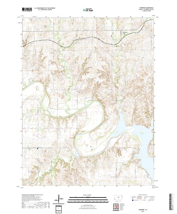
2022 Carneiro
Ellsworth County, KS
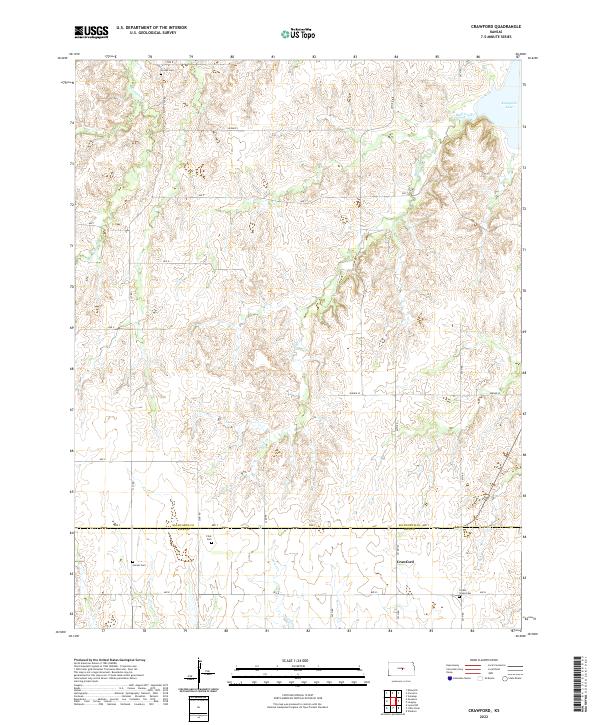
2022 Crawford
Ellsworth County, KS

2022 Holyrood NE
Ellsworth County, KS

2022 Holyrood NW
Ellsworth County, KS
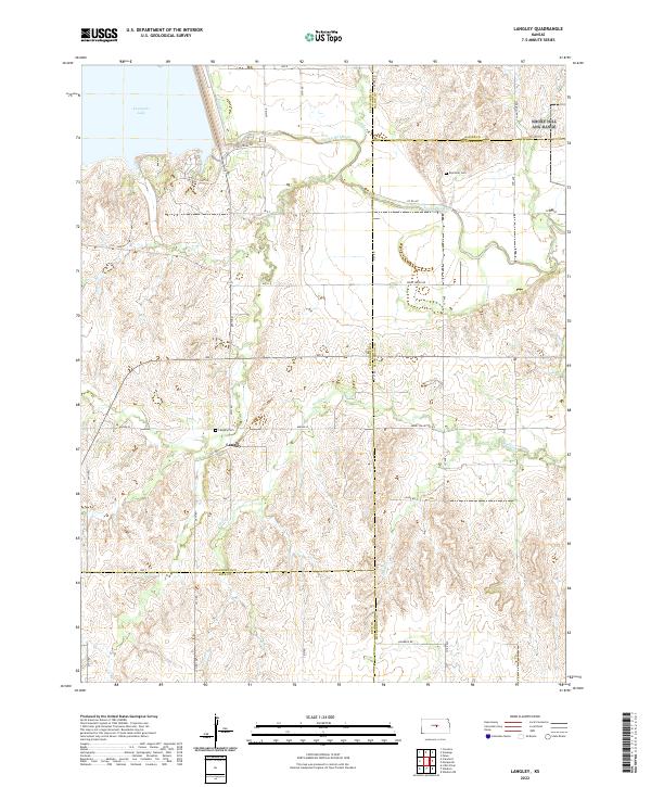
2022 Langley
Ellsworth County, KS
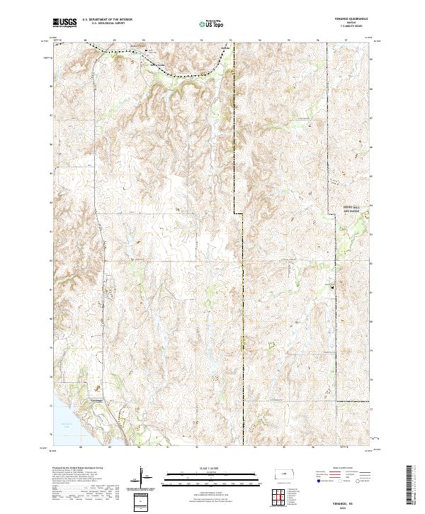
2022 Venango
Ellsworth County, KS
2022 Westfall SE
Ellsworth County, KS
2022 Westfall SW
Ellsworth County, KS