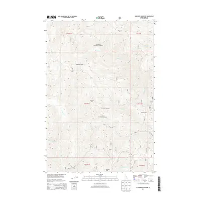
2013 Map of Blackbird Mountain
USGS Topo · Published 2013About this map
Salmon National Forest defines this high-elevation landscape in Lemhi County, where complex drainage systems like Musgrove Creek and Yellowjacket Creek carve through the Yellowjacket Mountains. The terrain is anchored by several prominent summits, including Blackbird Mountain in the northeast and Quartzite Mountain at the center. Historically significant travel corridors are represented by Yellowjacket Road, which winds past Remenclau Saddle and connects various drainages in this road-sparse region. Genealogists and local historians can trace the intricate network of watercourses, such as Porphyry Creek and West Fork Yellowjacket Creek, which influenced early exploration and access to the French Gulch area. The presence of Porphyry Ridge and Red Rock Peak further illustrates the geological character of this remote backcountry.
Find a feature on this map
25 named features on this map. Tap any name to fly to it.
Don’t see what you’re looking for? This feature index may not catch every label — zoom into the map to look around manually.
Map Details
Editions of this 2013 Blackbird Mountain Map
This is the sole edition of this map. No revisions or reprints were ever made.
Other maps of this area

1930 · Casto
USGS Topo · 1:125,000

1950 · Blackbird Mtn
USGS Topo · 1:62,500

1951 · Blackbird Mtn
USGS Topo · 1:62,500

1956 · Elk City
USGS Topo · 1:250,000

1957 · Challis
USGS Topo · 1:250,000

1960 · Elk City
USGS Topo · 1:250,000

1960 · Challis
USGS Topo · 1:250,000

1962 · Hoodoo Meadows
USGS Topo · 1:24,000

1962 · Mt Mc Guire
USGS Topo · 1:24,000

1963 · Challis
USGS Topo · 1:250,000