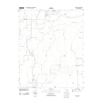
2012 Map of Blackgum
USGS Topo · Published 2012About this map
Evening Shade and Blackgum anchor this rural landscape in the Cookson Hills region north of the Arkansas River. The terrain is defined by a series of distinct peaks including Blackgum Mtn, Chuculate Mtn, and Anderson Mtn, with the drainage of Vian Cr and its tributaries carving through Wells Hollow and Boggy Hollow. This 2012 survey illustrates a network of section-line roads and named routes like Old Mail Route Rd and Moonshine Rd, which hint at the historical transportation patterns of Sequoyah County.
Find a feature on this map
68 named features on this map. Tap any name to fly to it.
Don’t see what you’re looking for? This feature index may not catch every label — zoom into the map to look around manually.
Map Details
Editions of this 2012 Blackgum Map
This is the sole edition of this map. No revisions or reprints were ever made.
Other maps of this area

1898 · Tahlequah
USGS Topo · 1:125,000

1900 · Sansbois
USGS Topo · 1:125,000

1900 · Sallisaw
USGS Topo · 1:125,000

1901 · Muscogee
USGS Topo · 1:125,000

1901 · Tahlequah
USGS Topo · 1:125,000

1905 · Muscogee
USGS Topo · 1:125,000

1905 · Tahlequah
USGS Topo · 1:125,000

1909 · Sans Bois
USGS Topo · 1:125,000

1911 · Sallisaw
USGS Topo · 1:125,000

1911 · Sansbois
USGS Topo · 1:125,000