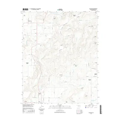
2016 Map of Blackgum
USGS Topo · Published 2016About this map
Evening Shade and Blackgum anchor the high ground in this survey of eastern Oklahoma, where the landscape transitions from the wooded slopes of the Ozark foothills down toward the Arkansas River valley. The terrain is defined by a series of prominent peaks, including Blackgum Mtn, Chuculate Mtn, and Anderson Mtn, which overlook a network of creek drainages such as Vian Cr and Pinhook Cr. The map captures a mix of small rural communities and family-named landmarks, such as Wells Hollow and Pinhook Corner. For genealogists and local historians, the sheet is particularly valuable for its documentation of several cemeteries, including the Cherokee- McCoy Cem and Barnisky Cem, alongside the long-standing site at Dwight Mission. The presence of Vian Lake and the Sallisaw Creek Site 3 Reservoir near the town of Vian illustrates the importance of water management and recreation in this part of Sequoyah County.
Find a feature on this map
66 named features on this map. Tap any name to fly to it.
Don’t see what you’re looking for? This feature index may not catch every label — zoom into the map to look around manually.
Map Details
Editions of this 2016 Blackgum Map
This is the sole edition of this map. No revisions or reprints were ever made.
Other maps of this area

1898 · Tahlequah
USGS Topo · 1:125,000

1900 · Sansbois
USGS Topo · 1:125,000

1900 · Sallisaw
USGS Topo · 1:125,000

1901 · Muscogee
USGS Topo · 1:125,000

1901 · Tahlequah
USGS Topo · 1:125,000

1905 · Muscogee
USGS Topo · 1:125,000

1905 · Tahlequah
USGS Topo · 1:125,000

1909 · Sans Bois
USGS Topo · 1:125,000

1911 · Sallisaw
USGS Topo · 1:125,000

1911 · Sansbois
USGS Topo · 1:125,000