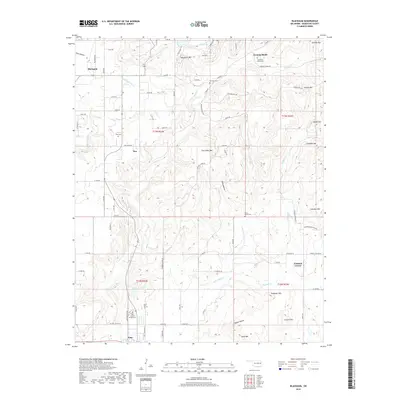
2019 Map of Blackgum
USGS Topo · Published 2019About this map
The town of Vian sits at the southern edge of this terrain, where the foothills of the Ozarks begin to rise toward the north. This survey shows a landscape defined by isolated peaks and high ridges, including Blackgum Mtn, Chuculate Mtn, and the distinctive Cowhead Mtn further east. These elevations are separated by hollows and creek beds such as Pine Hollow and Wells Hollow, creating a complex topographical pattern that has historically dictated the placement of roads and small communities.
Find a feature on this map
82 named features on this map. Tap any name to fly to it.
Don’t see what you’re looking for? This feature index may not catch every label — zoom into the map to look around manually.
Map Details
Editions of this 2019 Blackgum Map
This is the sole edition of this map. No revisions or reprints were ever made.
Other maps of this area

1898 · Tahlequah
USGS Topo · 1:125,000

1900 · Sansbois
USGS Topo · 1:125,000

1900 · Sallisaw
USGS Topo · 1:125,000

1901 · Muscogee
USGS Topo · 1:125,000

1901 · Tahlequah
USGS Topo · 1:125,000

1905 · Muscogee
USGS Topo · 1:125,000

1905 · Tahlequah
USGS Topo · 1:125,000

1909 · Sans Bois
USGS Topo · 1:125,000

1911 · Sallisaw
USGS Topo · 1:125,000

1911 · Sansbois
USGS Topo · 1:125,000