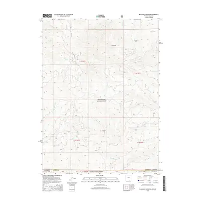
2015 Map of Blackhall Mountain
USGS Topo · Published 2015About this map
Blackhall Mtn stands as a prominent high point in this high-altitude landscape along the border of Wyoming and Colorado. The terrain is defined by the headwaters of several critical drainage systems within the Medicine Bow National Forest and Routt National Forest. To the northwest, the E Fork Encampment River carves through the forest, while the eastern slopes are dissected by Turnbull Gulch and Addison Gulch. The complex hydrography includes numerous named streams like Dunkard Cr and Little Beaver Cr, which speak to the area's importance for watershed management and backcountry navigation. This survey illustrates a remote wilderness where the state line between Wyoming and Colorado bisects the rugged topography, showing the network of Forest Service roads that provide the only access to these timbered peaks and riparian corridors.
Find a feature on this map
28 named features on this map. Tap any name to fly to it.
Don’t see what you’re looking for? This feature index may not catch every label — zoom into the map to look around manually.
Map Details
Editions of this 2015 Blackhall Mountain Map
This is the sole edition of this map. No revisions or reprints were ever made.
Other maps of this area

1911 · Hahns Peak
USGS Topo · 1:125,000

1913 · Hahns Peak
USGS Topo · 1:125,000

1939 · Saratoga
USGS Topo · 1:125,000

1954 · Rawlins
USGS Topo · 1:250,000

1954 · Craig
USGS Topo · 1:250,000

1955 · Davis Peak
USGS Topo · 1:24,000

1955 · Pearl
USGS Topo · 1:24,000

1956 · Pearl
USGS Topo · 1:62,500

1957 · Craig
USGS Topo · 1:250,000

1958 · Rawlins
USGS Topo · 1:250,000