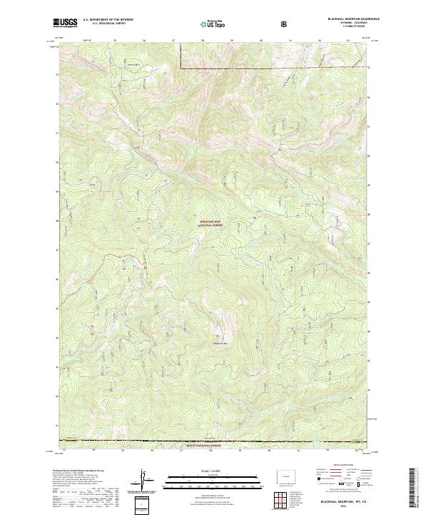
2021 Map of Blackhall Mountain
USGS Topo · Published 2021About this map
Medicine Bow National Forest dominates this high-altitude landscape along the Wyoming and Colorado border. The terrain is defined by prominent peaks such as Blackhall Mtn and Wood Mtn, which serve as the headwaters for a dense network of mountain streams. High drainage patterns are evident as Billie Cr, McAnulty Cr, and Little Beaver Cr flow through the timbered slopes. This area represents a critical watershed where the E Fork Encampment River begins its descent. Access across these steep grades is provided by specialized routes like Black Hall Rd and the East Fork Trl, while the Skyline route traverses the higher ridges. The map captures the intersection of the Routt National Forest at the state line, illustrating the administrative and natural boundaries of the northern Rocky Mountains.
Find a feature on this map
34 named features on this map. Tap any name to fly to it.
Don’t see what you’re looking for? This feature index may not catch every label — zoom into the map to look around manually.
Map Details
Editions of this 2021 Blackhall Mountain Map
This is the sole edition of this map. No revisions or reprints were ever made.
Other maps of this area

1911 · Hahns Peak
USGS Topo · 1:125,000

1913 · Hahns Peak
USGS Topo · 1:125,000

1939 · Saratoga
USGS Topo · 1:125,000

1954 · Rawlins
USGS Topo · 1:250,000

1954 · Craig
USGS Topo · 1:250,000

1955 · Davis Peak
USGS Topo · 1:24,000

1955 · Pearl
USGS Topo · 1:24,000

1956 · Pearl
USGS Topo · 1:62,500

1957 · Craig
USGS Topo · 1:250,000

1958 · Rawlins
USGS Topo · 1:250,000