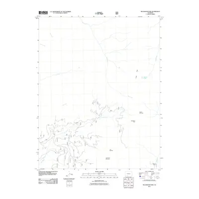
2011 Map of Blackhead Peak
USGS Topo · Published 2011About this map
Blackhead Peak and Squaretop Mountain dominate the skyline of this high-elevation landscape in southern Colorado, where the headwaters of the San Juan River system begin to take shape. This 2011 survey illustrates a terrain defined by dramatic alpine features such as The Needles and Nipple Mountain, while human impact is primarily limited to forest access via FR 24 and the management of water resources. The presence of Echo Ditch near the head of the Rito Blanco reveals the complex history of water diversion in the region, providing essential flow to lower elevations. In the southeastern corner, the settlement of Blanco Basin serves as the gateway to this wilderness, situated along the Rio Blanco near the convergence of numerous alpine drainages including Coal Creek and Mill Creek.
Find a feature on this map
17 named features on this map. Tap any name to fly to it.
Don’t see what you’re looking for? This feature index may not catch every label — zoom into the map to look around manually.
Map Details
Editions of this 2011 Blackhead Peak Map
This is the sole edition of this map. No revisions or reprints were ever made.
Other maps of this area

1913 · Summitville
USGS Topo · 1:125,000

1915 · Summitville
USGS Topo · 1:125,000

1945 · Durango
USGS Topo · 1:250,000

1953 · Durango
USGS Topo · 1:250,000

1954 · Durango
USGS Topo · 1:250,000

1957 · Chromo
USGS Topo · 1:62,500

1957 · Wolf Creek Pass
USGS Topo · 1:62,500

1957 · Chama Peak
USGS Topo · 1:62,500

1961 · Durango
USGS Topo · 1:250,000

1963 · Durango
USGS Topo · 1:250,000