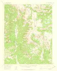
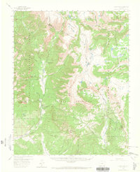
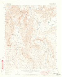
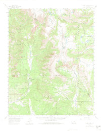
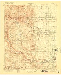
1957 Map of Chama Peak
USGS Topo · Published 1959About this map
The Continental Divide zigzags across this high-altitude landscape, separating the headwaters of the Navajo River and Rio Chama from the South Fork Conejos River drainage. This 1957 field check records a sparsely settled wilderness where early industrial and ranching interests carved out a presence. The Gramps Oil Field stands as a notable industrial landmark amidst the massive peaks of the Chalk Mountains, while the Tierra Amarilla Grant Boundary marks a historical property line dating back to Spanish and Mexican land grants.
Find a feature on this map
52 named features on this map. Tap any name to fly to it.
Don’t see what you’re looking for? This feature index may not catch every label — zoom into the map to look around manually.
Map Details
Editions of this 1957 Chama Peak Map
4 editions found
Other maps of this area

1913 · Summitville
USGS Topo · 1:125,000

1915 · Summitville
USGS Topo · 1:125,000

1918 · Tusas
USGS Topo · 1:125,000
1922 · Conejos
USGS Topo · 1:125,000

1945 · Durango
USGS Topo · 1:250,000

1953 · Durango
USGS Topo · 1:250,000

1954 · Durango
USGS Topo · 1:250,000

1954 · Aztec
USGS Topo · 1:250,000
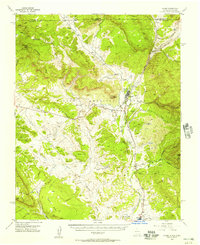
1955 · Chama
USGS Topo · 1:62,500
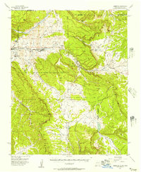
1955 · Lumberton
USGS Topo · 1:62,500