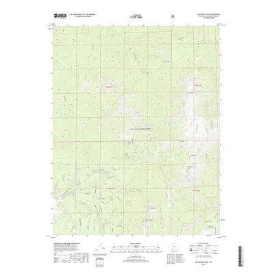
2019 Map of Blackhead Peak
USGS Topo · Published 2019About this map
San Juan National Forest defines this high-elevation landscape in Archuleta County, where the dramatic rise of Blackhead Peak and Nipple Mtn dominates the terrain. The map documents an intricate network of forest roads and trails, notably many named for geographic and timber-related features like Aspen Spur, Porcupine C1, and Nipple Mtn A. These paths provide access through the complex ridges of Quartz Ridge and the Little Blanco drainage.
Find a feature on this map
56 named features on this map. Tap any name to fly to it.
Don’t see what you’re looking for? This feature index may not catch every label — zoom into the map to look around manually.
Map Details
Editions of this 2019 Blackhead Peak Map
This is the sole edition of this map. No revisions or reprints were ever made.
Other maps of this area

1913 · Summitville
USGS Topo · 1:125,000

1915 · Summitville
USGS Topo · 1:125,000

1945 · Durango
USGS Topo · 1:250,000

1953 · Durango
USGS Topo · 1:250,000

1954 · Durango
USGS Topo · 1:250,000

1957 · Chromo
USGS Topo · 1:62,500

1957 · Wolf Creek Pass
USGS Topo · 1:62,500

1957 · Chama Peak
USGS Topo · 1:62,500

1961 · Durango
USGS Topo · 1:250,000

1963 · Durango
USGS Topo · 1:250,000