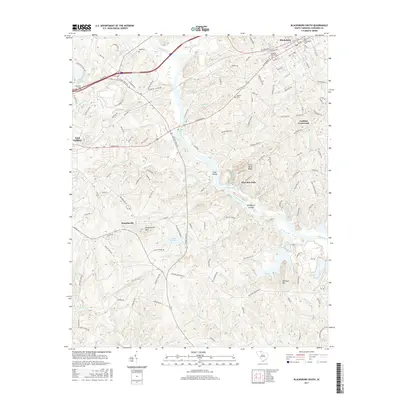
2017 Map of Blacksburg South
USGS Topo · Published 2017About this map
The Broad River carves a winding path through this region of Cherokee County, defining a landscape shaped by water and high ground. South of Blacksburg, the river flows past Goat Island and through The Rapids, eventually reaching the complex archipelago of Ninetynine Islands. Significant elevation changes are marked by prominent features such as Draytonville Mtn and McKowns Mtn, while the proximity of Silver Mine Ridge hints at the area's geological and mineral history.
Find a feature on this map
136 named features on this map. Tap any name to fly to it.
Don’t see what you’re looking for? This feature index may not catch every label — zoom into the map to look around manually.
Map Details
Editions of this 2017 Blacksburg South Map
This is the sole edition of this map. No revisions or reprints were ever made.
Other maps of this area
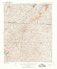
1906 · Kings Mountain
USGS Topo · 1:62,500
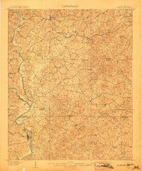
1907 · Sharon
USGS Topo · 1:62,500
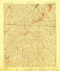
1908 · Kings Mountain
USGS Topo · 1:62,500
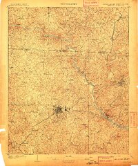
1909 · Gaffney
USGS Topo · 1:62,500

1941 · Spartanburg
USGS Topo · 1:250,000

1953 · Spartanburg
USGS Topo · 1:250,000

1953 · Charlotte
USGS Topo · 1:250,000

1954 · Charlotte
USGS Topo · 1:250,000

1960 · Charlotte
USGS Topo · 1:250,000

1960 · Spartanburg
USGS Topo · 1:250,000