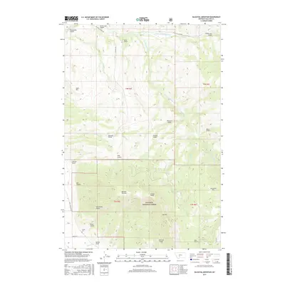
2017 Map of Blacktail Mountain
USGS Topo · Published 2017About this map
Blacktail Mountain and the surrounding peaks of the Bridger Range dominate this high-elevation landscape within the Gallatin National Forest. The map documents a complex drainage system where the Middle Fork Sixteenmile Cr and S Fork Sixteenmile Cr converge toward the northern Sixteenmile Canyon. Evidence of early settlement and land use persists in the southern reaches, most notably at the Morgan Cem located near Morgan Ln. Transportation through these deep canyons and gulches is limited to primitive routes like Blacktail Rd and Rocky Mountain Rd, which navigate the steep divide between the Sixteenmile Cr and southern drainages. The rugged geography is defined by prominent landmarks such as Table Mtn, Horsethief Mtn, and the Blacktail Divide, marking a wilderness area characterized by significant vertical relief and secluded canyons like Painted Canyon and Maxwell Canyon.
Find a feature on this map
39 named features on this map. Tap any name to fly to it.
Don’t see what you’re looking for? This feature index may not catch every label — zoom into the map to look around manually.
Map Details
Editions of this 2017 Blacktail Mountain Map
This is the sole edition of this map. No revisions or reprints were ever made.
Other maps of this area

1886 · Fort Logan
USGS Topo · 1:250,000

1886 · Little Belt Mts.
USGS Topo · 1:250,000

1888 · Three Forks
USGS Topo · 1:250,000

1891 · Livingston
USGS Topo · 1:250,000

1893 · Livingston
USGS Topo · 1:250,000

1894 · Three Forks
USGS Topo · 1:250,000

1894 · Little Belt Mts.
USGS Topo · 1:250,000

1895 · Three Forks
USGS Topo · 1:250,000

1897 · Little Belt Mts.
USGS Topo · 1:250,000

1898 · Little Belt Mts.
USGS Topo · 1:250,000