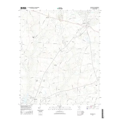
2017 Map of Blackville
USGS Topo · Published 2017About this map
Blackville sits at a significant inland crossroads, where several state routes and local thoroughfares converge amidst the agricultural landscape of South Carolina. The terrain is defined by the winding course of Toby Cr, which drains toward the southwest near the county seat of Barnwell. Significant local landmarks include County Memory Gardens and Hope Memorial Park, reflecting the community's established history and genealogy.
Find a feature on this map
107 named features on this map. Tap any name to fly to it.
Don’t see what you’re looking for? This feature index may not catch every label — zoom into the map to look around manually.
Map Details
Editions of this 2017 Blackville Map
This is the sole edition of this map. No revisions or reprints were ever made.
Other maps of this area

1919 · Olar
USGS Topo · 1:62,500

1919 · Bamberg
USGS Topo · 1:48,000

1919 · Allendale
USGS Topo · 1:62,500

1920 · Bamberg
USGS Topo · 1:62,500

1923 · Williston
USGS Topo · 1:48,000

1927 · Williston
USGS Topo · 1:62,500

1943 · Olar
USGS Topo · 1:62,500

1943 · Allendale
USGS Topo · 1:62,500

1943 · Bamberg
USGS Topo · 1:62,500

1943 · Williston
USGS Topo · 1:62,500