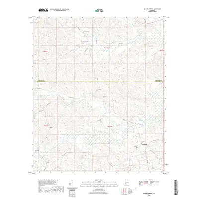
2018 Map of Bladon Springs
USGS Topo · Published 2018About this map
Bladon Springs sits at the northern edge of this study, positioned near the boundary where Choctaw and Washington Counties meet. The landscape is defined by the intricate drainage systems of Santa Bogue Creek and Sea Warrior Cr, which weave through a network of rural communities including Silver Cross, Frankville, and Koenton. This 2018 survey reveals a territory deeply rooted in its local geography, where small settlements are connected by named paths like Blue Dirt Rd and Sea Warrior Rd.
Find a feature on this map
50 named features on this map. Tap any name to fly to it.
Don’t see what you’re looking for? This feature index may not catch every label — zoom into the map to look around manually.
Map Details
Editions of this 2018 Bladon Springs Map
This is the sole edition of this map. No revisions or reprints were ever made.
Other maps of this area

1953 · Hattiesburg
USGS Topo · 1:250,000

1958 · Hattiesburg
USGS Topo · 1:250,000

1971 · Bigbee
USGS Topo · 1:24,000

1971 · Coffeeville
USGS Topo · 1:24,000

1971 · Bladon Springs
USGS Topo · 1:24,000

1971 · Coffeeville Lock And Dam
USGS Topo · 1:24,000

1972 · Tattlersville
USGS Topo · 1:24,000

1972 · St. Stephens
USGS Topo · 1:24,000

1974 · Millry South
USGS Topo · 1:24,000

1974 · Millry North
USGS Topo · 1:24,000