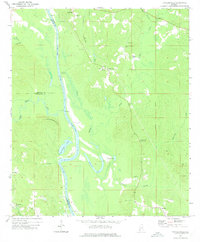
1972 Map of Tattlersville
USGS Topo · Published 1975About this map
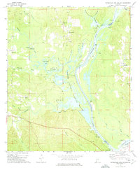
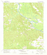
The Tombigbee River carves a sweeping path through the southwestern corner of Alabama, serving as the historical boundary between Clarke, Choctaw, and Washington Counties. In the early 1970s, the river landscape remained defined by active waterway points like Christmas Landing, Baileys Landing, and Blount Landing, reflecting the area's deep-rooted connection to the water. The surrounding terrain of the Hatchetigbee Hills is characterized by an intricate network of oxbows and wetlands, notably Hatchetigbee Lake and Horseshoe Lake, which mark former channels of the meandering river.
Find a feature on this map
45 named features on this map. Tap any name to fly to it.
Don’t see what you’re looking for? This feature index may not catch every label — zoom into the map to look around manually.
Map Details
Editions of this 1972 Tattlersville Map
2 editions found

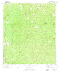
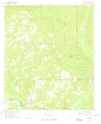
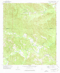
Other maps of this area

1953 · Andalusia
USGS Topo · 1:250,000

1953 · Hattiesburg
USGS Topo · 1:250,000

1957 · Andalusia
USGS Topo · 1:250,000

1958 · Hattiesburg
USGS Topo · 1:250,000
1971 · Bigbee
USGS Topo · 1:24,000
1971 · Coffeeville
USGS Topo · 1:24,000
1971 · Bladon Springs
USGS Topo · 1:24,000
1971 · Coffeeville Lock And Dam
USGS Topo · 1:24,000
1972 · St. Stephens
USGS Topo · 1:24,000
1978 · Jackson
USGS Topo · 1:24,000