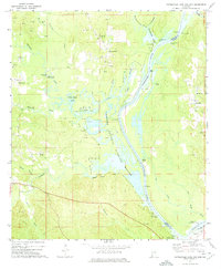
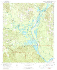
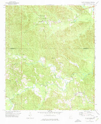
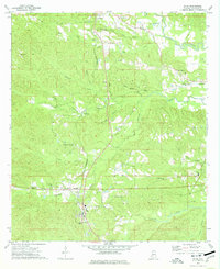
1971 Map of Coffeeville Lock And Dam
USGS Topo · Published 1975About this map
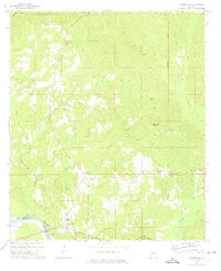
The Tombigbee River serves as the dominant artery through this stretch of southwest Alabama, carving a path between Choctaw and Clarke counties. In the early 1970s, the riverine economy is evidenced by a series of landings including Sellers Landing, Lenoir Landing, and Bladon Springs Landing, alongside the prominent Coffeeville Lock and Dam at the southern bend. The map illustrates a landscape where industrial extraction meets conservation, as numerous Oil Wells and a Lookout Tower appear just north of the expansive Choctaw National Wildlife Refuge. Small rural communities and church-centered settlements like Womack Hill, Barrytown, and Pleasant Chapel are dispersed among the dense network of tributaries such as Okatuppa Creek and Sowwilpa Creek. For genealogists, the presence of family-named landmarks like Moores and Turner cemeteries provides specific points of connection to the local residents of the era.
Find a feature on this map
52 named features on this map. Tap any name to fly to it.
Don’t see what you’re looking for? This feature index may not catch every label — zoom into the map to look around manually.
Map Details
Editions of this 1971 Coffeeville Lock And Dam Map
2 editions found
Other maps of this area

1953 · Hattiesburg
USGS Topo · 1:250,000

1958 · Hattiesburg
USGS Topo · 1:250,000
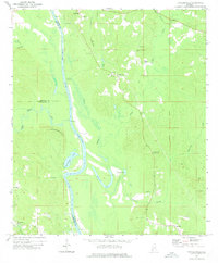
1971 · Coffeeville
USGS Topo · 1:24,000
1971 · Ararat
USGS Topo · 1:24,000
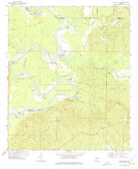
1971 · Bladon Springs
USGS Topo · 1:24,000
1972 · Tattlersville
USGS Topo · 1:24,000
1972 · Woods Bluff
USGS Topo · 1:24,000
1974 · Millry North
USGS Topo · 1:24,000
1974 · Silas
USGS Topo · 1:24,000
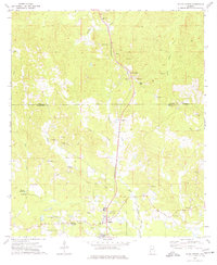
1974 · Toxey
USGS Topo · 1:24,000