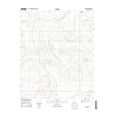
2013 Map of Blaines Lake
USGS Topo · Published 2013About this map
Agua Fria Cr winds through this high-elevation landscape of Catron County, defining the drainage patterns between prominent geological rises. The terrain is characterized by the broad elevation of Cimarron Mesa in the southwest and the descent into Cottonwood Canyon at the northern boundary. Settlement is sparse, represented primarily by the winding route of Co Road A7, which serves as the primary artery through these township and range divisions. In the southeastern portion of the map, Blaines Lake sits as a notable hydrological feature, collecting runoff from the surrounding slopes. The map reveals a transition between various sections of the Gila National Forest area, where the intersection of water sources and passable terrain dictated the placement of early ranching roads and remote infrastructure.
Find a feature on this map
11 named features on this map. Tap any name to fly to it.
Don’t see what you’re looking for? This feature index may not catch every label — zoom into the map to look around manually.
Map Details
Editions of this 2013 Blaines Lake Map
This is the sole edition of this map. No revisions or reprints were ever made.
Other maps of this area

1954 · Saint Johns
USGS Topo · 1:250,000

1955 · Red Hill
USGS Topo · 1:24,000

1957 · Saint Johns
USGS Topo · 1:250,000

1958 · Saint Johns
USGS Topo · 1:250,000

1962 · Saint Johns
USGS Topo · 1:250,000

1972 · Zuni Salt Lake
USGS Topo · 1:24,000

1972 · Lake Armijo
USGS Topo · 1:24,000
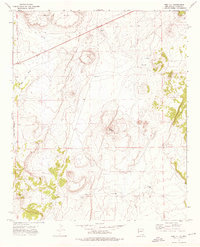
1972 · Red Hill
USGS Topo · 1:24,000

1972 · Blaines Lake
USGS Topo · 1:24,000
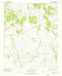
1972 · Cow Springs
USGS Topo · 1:24,000