
1972 Map of Zuni Salt Lake
USGS Topo · Published 1976About this map
Zuni Salt Lake dominates the eastern portion of this high-desert landscape in Catron County, featuring a complex system of salt production including several Salt Evaporators and a pump house. This volcanic crater, or maar, serves as the geographical centerpiece for a region defined by scattered water sources and seasonal drainage. To the north and west, the terrain rises toward Mesita Blanca, while the rest of the quadrangle is marked by isolated water features such as Cheap John Lake, Lunas Lake, and the ephemeral Carrizo Wash. The map documents a sparsely populated ranching environment where life centered on critical infrastructure like Davila Well, Mireles Windmill, and Ikes Tank. A small cemetery near the salt lake remains as a quiet indicator of the local community's historical presence in this arid basin.
Find a feature on this map
20 named features on this map. Tap any name to fly to it.
Don’t see what you’re looking for? This feature index may not catch every label — zoom into the map to look around manually.
Map Details
Editions of this 1972 Zuni Salt Lake Map
This is the sole edition of this map. No revisions or reprints were ever made.
Other maps of this area

1954 · Saint Johns
USGS Topo · 1:250,000

1957 · Saint Johns
USGS Topo · 1:250,000

1958 · Saint Johns
USGS Topo · 1:250,000

1962 · Saint Johns
USGS Topo · 1:250,000

1972 · Lake Armijo
USGS Topo · 1:24,000

1972 · Twentytwo Spring
USGS Topo · 1:24,000

1972 · Fence Lake SW
USGS Topo · 1:24,000

1972 · Blaines Lake
USGS Topo · 1:24,000
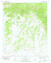
1972 · Moreno Hill
USGS Topo · 1:24,000
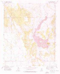
1972 · Goat Spring
USGS Topo · 1:24,000