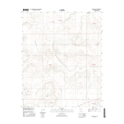
2017 Map of Blaines Lake
USGS Topo · Published 2017About this map
Agua Fria Cr winds through this high-desert landscape in western New Mexico, carving a path across various township boundaries. The terrain is characterized by significant landforms such as the Cottonwood Canyon in the north and the expansive Cimarron Mesa to the south. This 2017 survey shows a region where traditional ranching infrastructure meets modern rural subdivision, as evidenced by the presence of McKinley Ranch Rd alongside newer local developments like Deer Cir and Red Hawk Way. The namesake Blaines Lake serves as a central hydrological point in a region primarily defined by its drainage basins and sectional divisions. For local historians and researchers, the map provides a clear view of the road network and topographic shifts that have shaped land use in this part of Catron County.
Find a feature on this map
15 named features on this map. Tap any name to fly to it.
Don’t see what you’re looking for? This feature index may not catch every label — zoom into the map to look around manually.
Map Details
Editions of this 2017 Blaines Lake Map
This is the sole edition of this map. No revisions or reprints were ever made.
Other maps of this area

1954 · Saint Johns
USGS Topo · 1:250,000

1955 · Red Hill
USGS Topo · 1:24,000

1957 · Saint Johns
USGS Topo · 1:250,000

1958 · Saint Johns
USGS Topo · 1:250,000

1962 · Saint Johns
USGS Topo · 1:250,000

1972 · Zuni Salt Lake
USGS Topo · 1:24,000

1972 · Lake Armijo
USGS Topo · 1:24,000
1972 · Red Hill
USGS Topo · 1:24,000

1972 · Blaines Lake
USGS Topo · 1:24,000
1972 · Cow Springs
USGS Topo · 1:24,000