
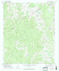
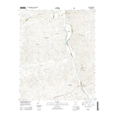
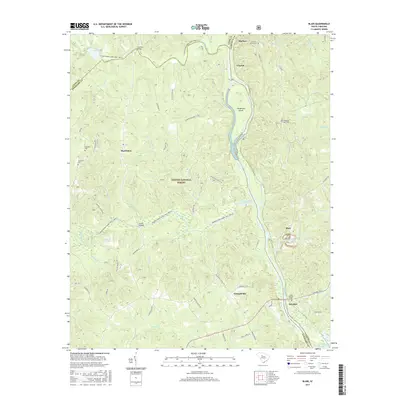
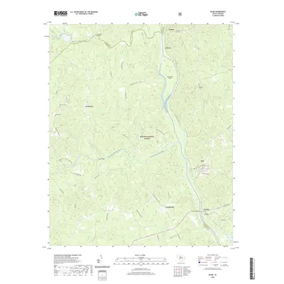
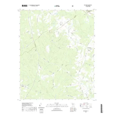
2024 Map of Blair
USGS Topo · Published 2024About this map
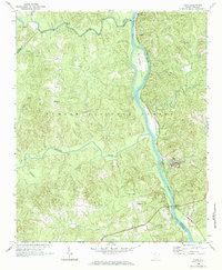
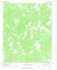
Sumter National Forest dominates the landscape where the Tyger River and Enoree River converge with the Broad River. This riverine territory is marked by the enduring legacy of early Piedmont transport, evidenced by several historic crossing points such as David Sims Ferry and Blairs Ferry. The settlement pattern follows the high ground between these drainages, with small communities like Maybinton and Glymphville serving as focal points for the surrounding rural acreage. Genealogists will find several burial sites preserved across the landscape, including the Ebenezer Cem and Weeping Mary Cem. Along the eastern bank of the Broad River, the Catawba Trail traces a path near Strother, hinting at the long-standing importance of this corridor for travel through South Carolina's backcountry. The map also highlights recreational paths like the Tyger River Canoe Trl, showcasing how these historical waterways continue to be utilized today.
Find a feature on this map
66 named features on this map. Tap any name to fly to it.
Don’t see what you’re looking for? This feature index may not catch every label — zoom into the map to look around manually.
Map Details
Editions of this 2024 Blair Map
This is the sole edition of this map. No revisions or reprints were ever made.
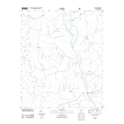
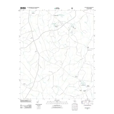
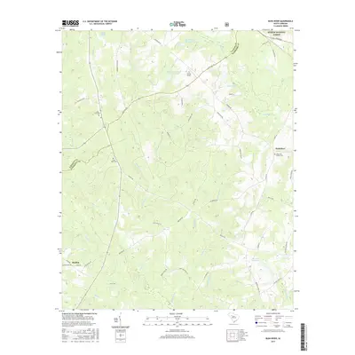
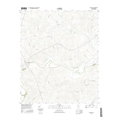
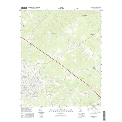
Historical Maps of Strother Through Time
42 maps found

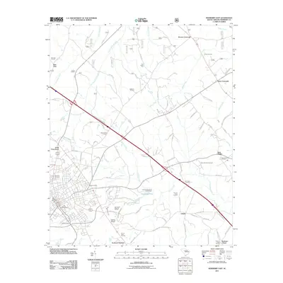
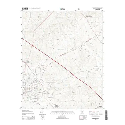
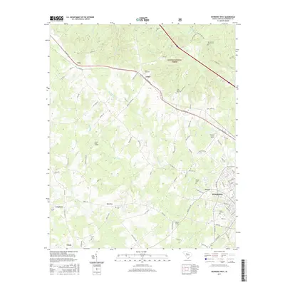
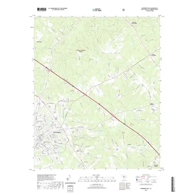
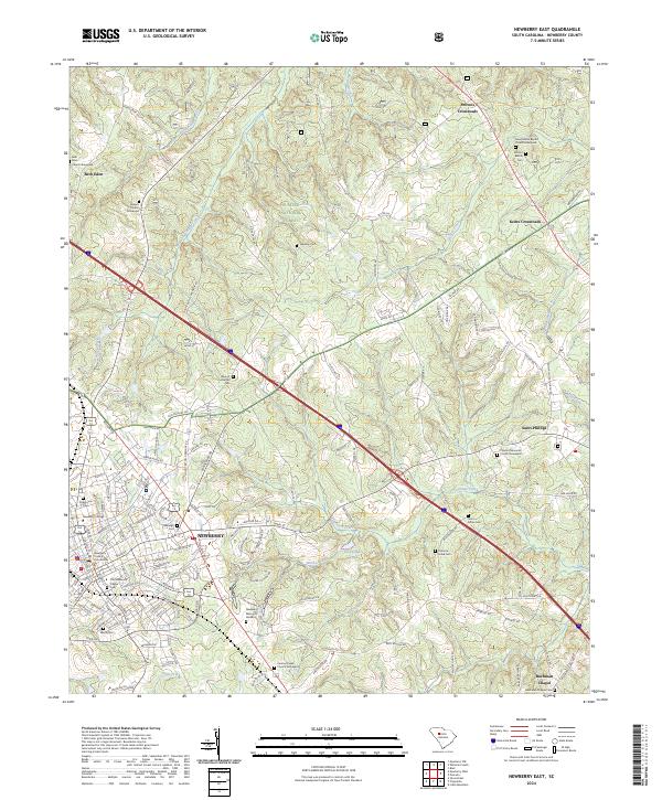
1968 Newberry East
Newberry County, SC
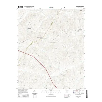
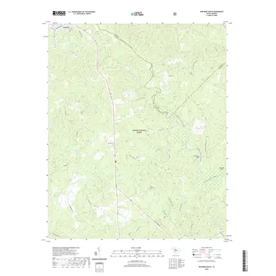
1969 Blair
Newberry County, SC
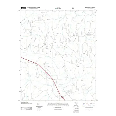
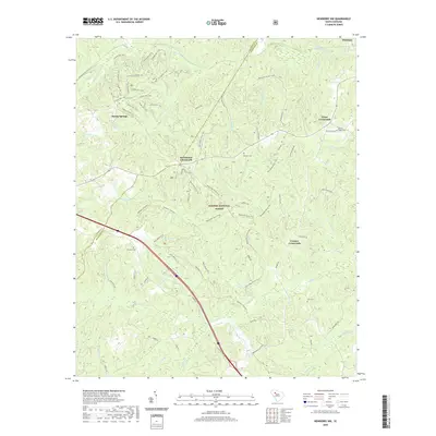
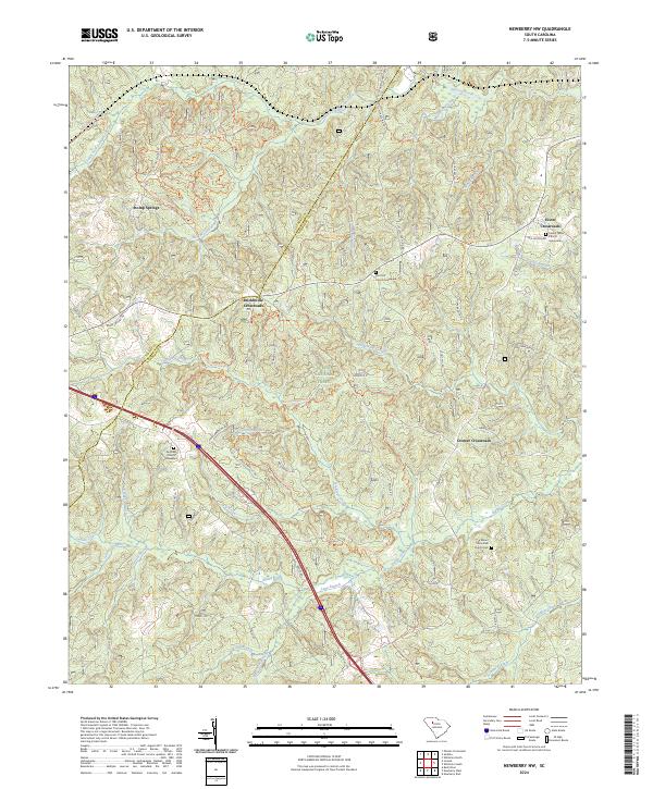
1969 Newberry NW
Newberry County, SC
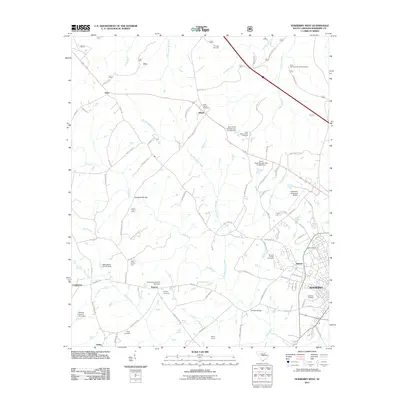
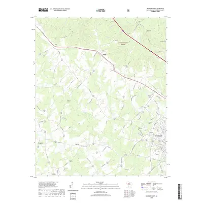
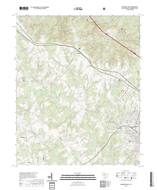
1969 Newberry West
Newberry County, SC
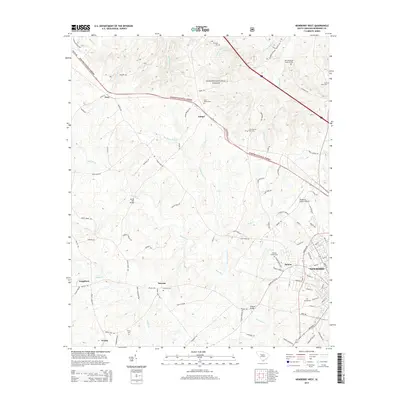
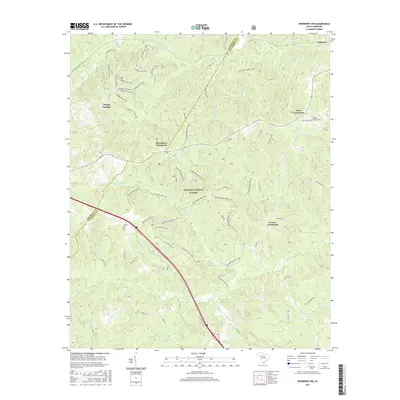
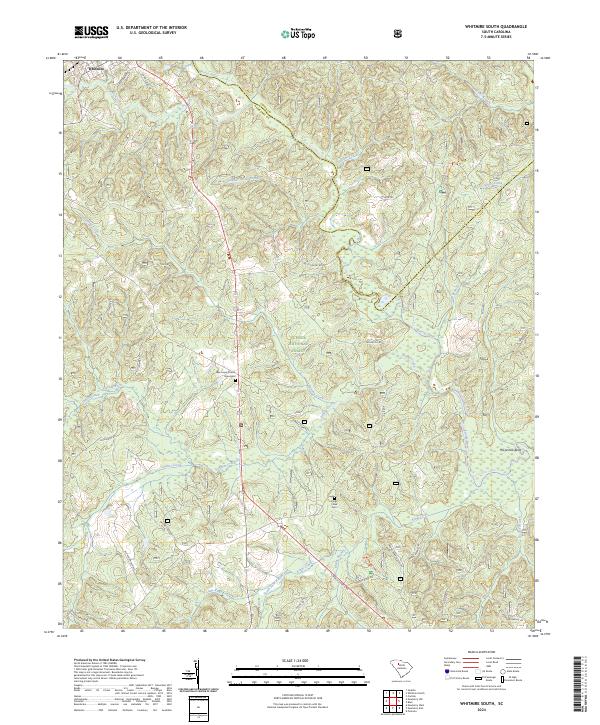
1969 Whitmire South
Newberry County, SC
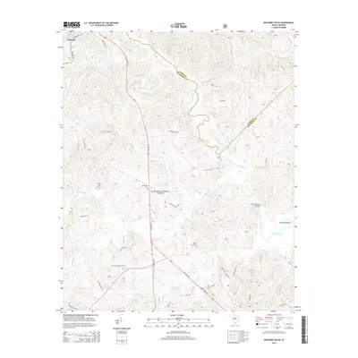
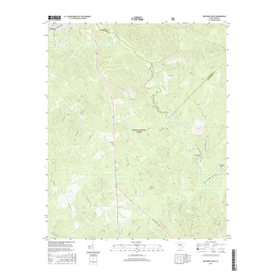
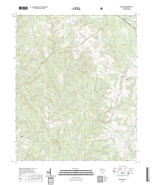
1970 Bush River
Newberry County, SC
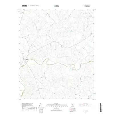
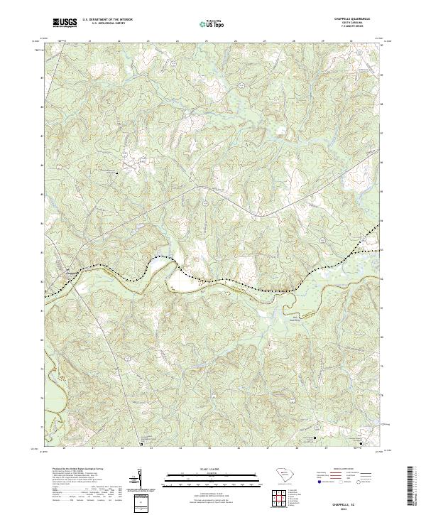
1971 Chappells
Newberry County, SC
2011 Blair
Newberry County, SC
2011 Bush River
Newberry County, SC
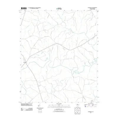
2011 Chappells
Newberry County, SC
2011 Newberry East
Newberry County, SC
2011 Newberry NW
Newberry County, SC
2011 Newberry West
Newberry County, SC
2011 Whitmire South
Newberry County, SC
2014 Blair
Newberry County, SC
2014 Bush River
Newberry County, SC
2014 Chappells
Newberry County, SC
2014 Newberry East
Newberry County, SC
2014 Newberry NW
Newberry County, SC
2014 Newberry West
Newberry County, SC
2014 Whitmire South
Newberry County, SC
2017 Blair
Newberry County, SC
2017 Bush River
Newberry County, SC
2017 Chappells
Newberry County, SC
2017 Newberry East
Newberry County, SC
2017 Newberry NW
Newberry County, SC
2017 Newberry West
Newberry County, SC
2017 Whitmire South
Newberry County, SC
2020 Blair
Newberry County, SC
2020 Bush River
Newberry County, SC
2020 Chappells
Newberry County, SC
2020 Newberry East
Newberry County, SC
2020 Newberry NW
Newberry County, SC
2020 Newberry West
Newberry County, SC
2020 Whitmire South
Newberry County, SC
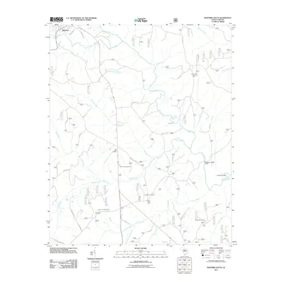
2024 Blair
Newberry County, SC
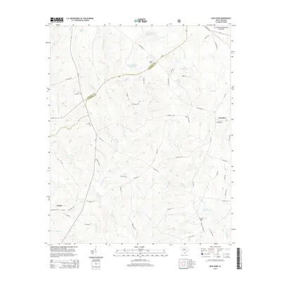
2024 Bush River
Newberry County, SC
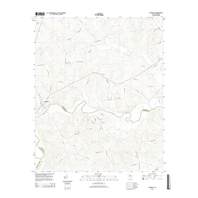
2024 Chappells
Newberry County, SC
2024 Newberry East
Newberry County, SC
2024 Newberry NW
Newberry County, SC
2024 Newberry West
Newberry County, SC
2024 Whitmire South
Newberry County, SC