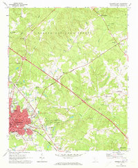
1968 Map of Newberry East
USGS Topo · Published 1973About this map
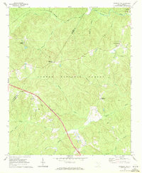
Newberry serves as the focal point of this late 1960s survey, showing the expansion of the town and the core of Newberry College. The landscape is defined by the intersection of the Columbia Newberry and Laurens Southern railroad and several state routes that radiate toward outlying communities like St Phillips and Beth Eden. To the south, Lynchs Woods Park and the Four County State Fish Hatchery mark dedicated land use amidst the rolling terrain of the Sumter National Forest. Local history is deeply etched into the map through numerous small churches and family burial grounds, including Clayton Memorial Cem and Rosemont Cemetery. The street grid of the town center is detailed down to specific public buildings like the Courthouse, Gallman High Sch, and the local Armory, capturing the civic infrastructure of this South Carolina county seat during a period of steady mid-century growth.
Find a feature on this map
66 named features on this map. Tap any name to fly to it.
Don’t see what you’re looking for? This feature index may not catch every label — zoom into the map to look around manually.
Map Details
Editions of this 1968 Newberry East Map
2 editions found

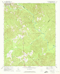
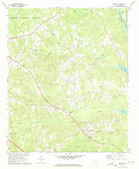
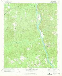
Other maps of this area

1904 · Columbia
USGS Topo · 1:125,000

1941 · Spartanburg
USGS Topo · 1:250,000

1953 · Spartanburg
USGS Topo · 1:250,000

1960 · Spartanburg
USGS Topo · 1:250,000

1963 · Spartanburg
USGS Topo · 1:250,000

1964 · Spartanburg
USGS Topo · 1:250,000
1969 · Whitmire South
USGS Topo · 1:24,000
1969 · Pomaria
USGS Topo · 1:24,000
1969 · Blair
USGS Topo · 1:24,000
1969 · Newberry NW
USGS Topo · 1:24,000