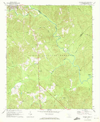
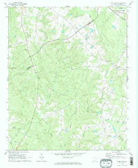
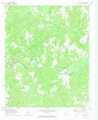
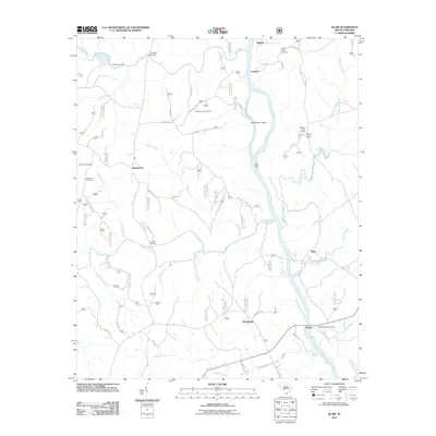
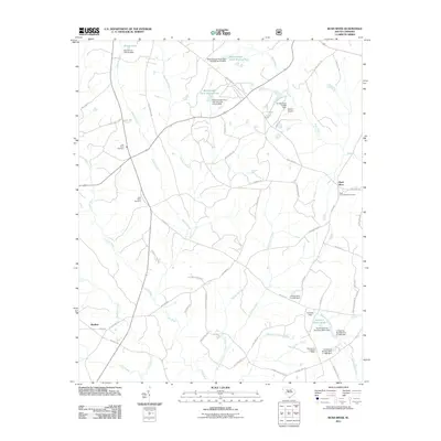
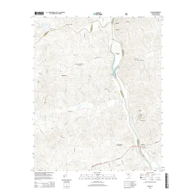
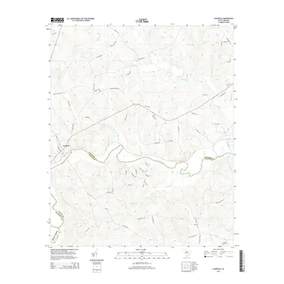
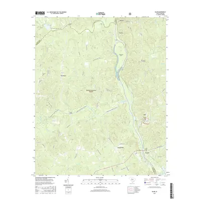
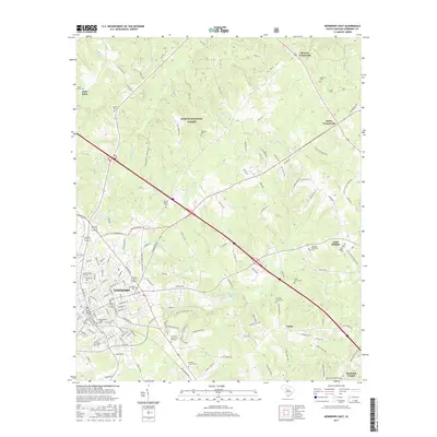
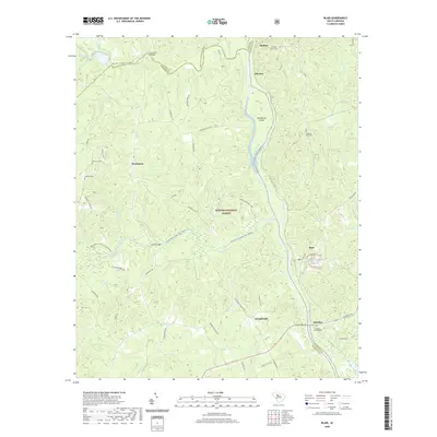
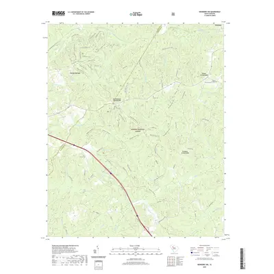
1969 Map of Blair
USGS Topo · Published 1984About this map
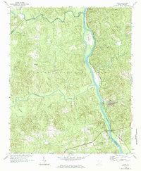
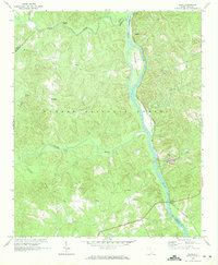
Sumter National Forest dominates the landscape at the confluence of several major South Carolina waterways in the late 1960s. The Broad River serves as a natural boundary between Newberry and Fairfield counties, holding Henderson Island in its channel while the Southern railroad follows its eastern bank through Shelton and Strother. The river network is dense here, as the Tyger River and Enoree River flow from the west to join the Broad, creating a terrain of significant drainage basins including Hellers Creek and Subers Creek.
Find a feature on this map
34 named features on this map. Tap any name to fly to it.
Don’t see what you’re looking for? This feature index may not catch every label — zoom into the map to look around manually.
Map Details
Editions of this 1969 Blair Map
2 editions found
Historical Maps of Blair Through Time
42 maps found

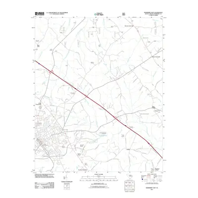
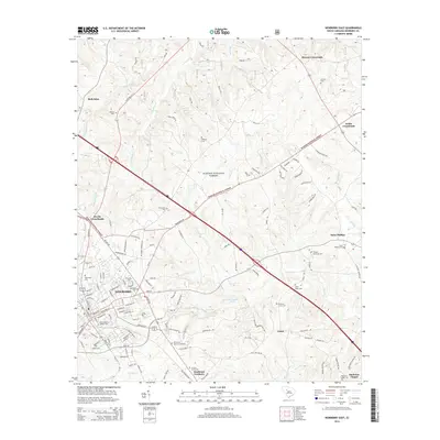
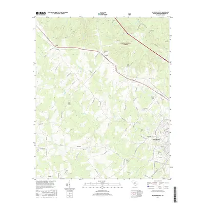
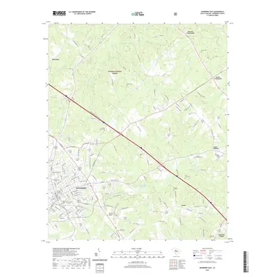
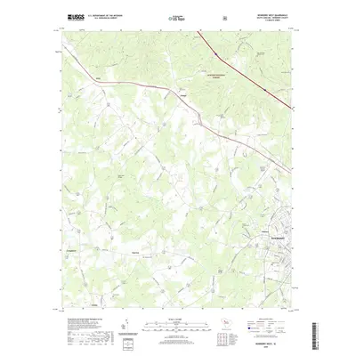
1968 Newberry East
Newberry County, SC
1969 Blair
Newberry County, SC
1969 Newberry NW
Newberry County, SC
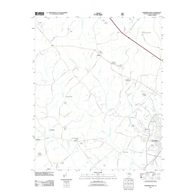
1969 Newberry West
Newberry County, SC
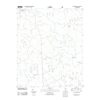
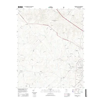
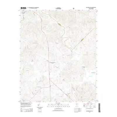
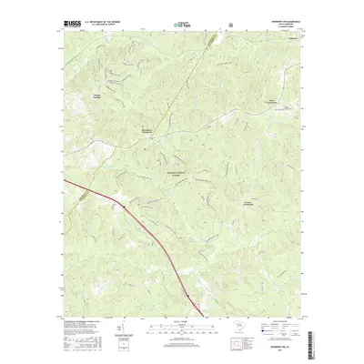
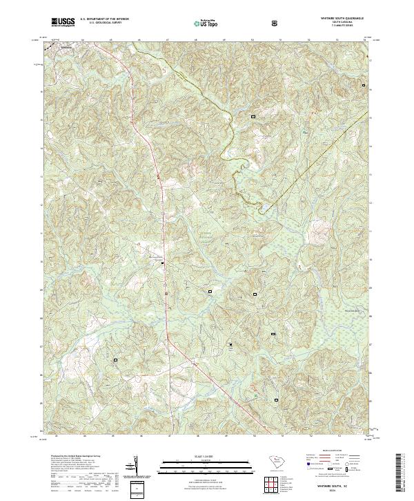
1969 Whitmire South
Newberry County, SC
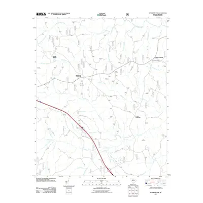
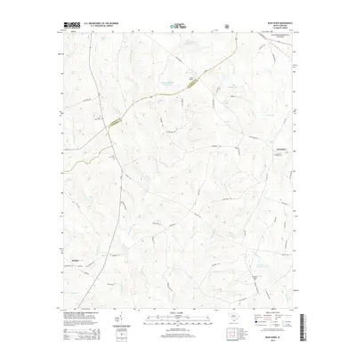
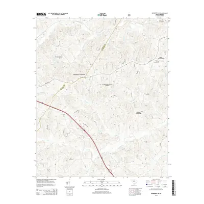
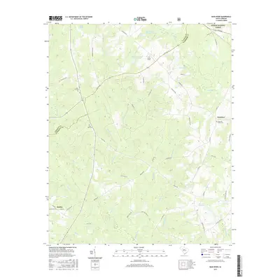
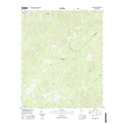
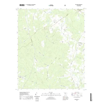
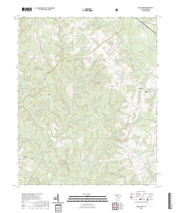
1970 Bush River
Newberry County, SC
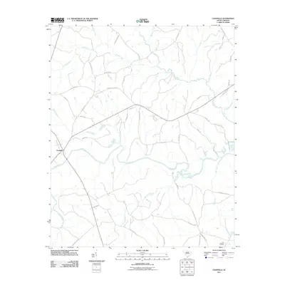
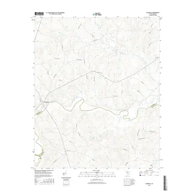
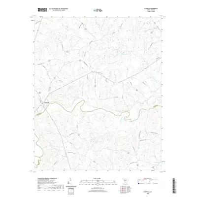
1971 Chappells
Newberry County, SC
2011 Blair
Newberry County, SC
2011 Bush River
Newberry County, SC
2011 Chappells
Newberry County, SC
2011 Newberry East
Newberry County, SC
2011 Newberry NW
Newberry County, SC
2011 Newberry West
Newberry County, SC
2011 Whitmire South
Newberry County, SC
2014 Blair
Newberry County, SC
2014 Bush River
Newberry County, SC
2014 Chappells
Newberry County, SC
2014 Newberry East
Newberry County, SC
2014 Newberry NW
Newberry County, SC
2014 Newberry West
Newberry County, SC
2014 Whitmire South
Newberry County, SC
2017 Blair
Newberry County, SC
2017 Bush River
Newberry County, SC
2017 Chappells
Newberry County, SC
2017 Newberry East
Newberry County, SC
2017 Newberry NW
Newberry County, SC
2017 Newberry West
Newberry County, SC
2017 Whitmire South
Newberry County, SC
2020 Blair
Newberry County, SC
2020 Bush River
Newberry County, SC
2020 Chappells
Newberry County, SC
2020 Newberry East
Newberry County, SC
2020 Newberry NW
Newberry County, SC
2020 Newberry West
Newberry County, SC
2020 Whitmire South
Newberry County, SC

2024 Blair
Newberry County, SC
2024 Bush River
Newberry County, SC
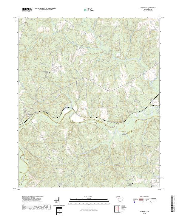
2024 Chappells
Newberry County, SC
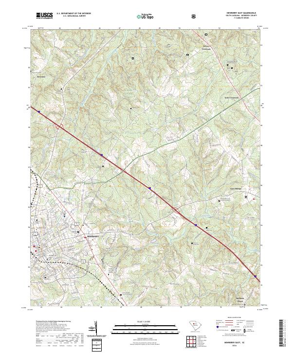
2024 Newberry East
Newberry County, SC
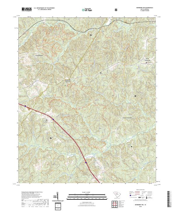
2024 Newberry NW
Newberry County, SC
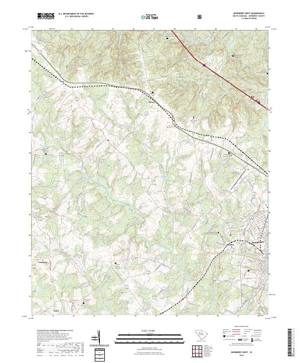
2024 Newberry West
Newberry County, SC
2024 Whitmire South
Newberry County, SC