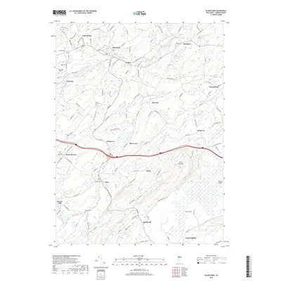
2019 Map of Blairstown
USGS Topo · Published 2019About this map
Jenny Jump Mtn dominates the central landscape of this Warren County region, marking a sharp topographic divide between the valley of the Paulins Kill to the north and the Great Meadows to the south. The settlement of Blairstown serves as a focal point along the river, accompanied by a string of smaller communities like Marksboro, Paulina, and Johnsonburg. This modern survey reveals a countryside still defined by its complex hydrography, where numerous water bodies such as Lake Susquehanna, Cedar Lake, and Silver Lake are linked by a network of named brooks and runs.
Find a feature on this map
133 named features on this map. Tap any name to fly to it.
Don’t see what you’re looking for? This feature index may not catch every label — zoom into the map to look around manually.
Map Details
Editions of this 2019 Blairstown Map
This is the sole edition of this map. No revisions or reprints were ever made.
Other maps of this area

1888 · Hackettstown
USGS Topo · 1:62,500

1891 · Wallpack
USGS Topo · 1:62,500

1891 · Delaware Water Gap
USGS Topo · 1:62,500

1893 · Delaware Water Gap
USGS Topo · 1:62,500

1893 · Wallpack
USGS Topo · 1:62,500

1894 · Hackettstown
USGS Topo · 1:62,500

1898 · Hackettstown
USGS Topo · 1:62,500

1900 · Raritan
USGS Topo · 1:125,000

1905 · Raritan
USGS Topo · 1:125,000

1905 · Hackettstown
USGS Topo · 1:62,500
Featured Places
- Blairstown, NJ
- Allamuchy Township, NJ
- Hope Township, NJ
- Hardwick Township, NJ
- Marble Hill, Liberty Township