2023 Map of Blairstown
USGS Topo · Published 2023About this map
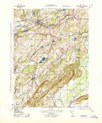
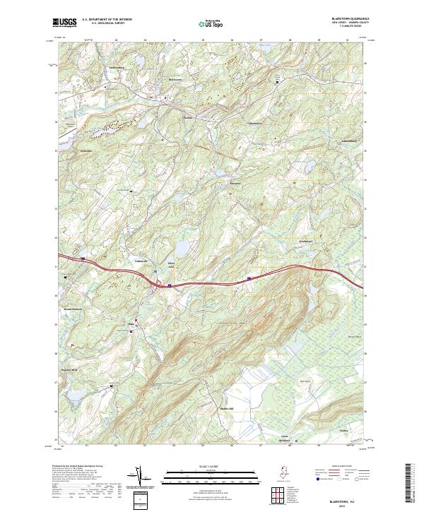
Blairstown and the surrounding Warren County countryside are defined by a complex network of waterways and early settlements in this 2023 edition. The Paulins Kill winds through the northern half of the quadrangle, passing through Paulina and Marksboro, while the southern reaches are dominated by the elevations of Jenny Jump Mtn. Genealogists will find a high concentration of burial sites, including the historic Moravian Cem at Hope, the Union Brick Cem, and the Swayze Cem near Swayzes Mills. The map details the local transportation infrastructure from the Blairstown Airport to the recreational Paulinskill Valley Trl, which follows a former rail corridor. Distinctive local nomenclature is preserved in labels like Shades Of Death Rd and Ghost Lake, while the eastern portion of the map shows the transition to the marshy lowlands of the Pequest River and Great Meadows.
Find a feature on this map
65 named features on this map. Tap any name to fly to it.
Don’t see what you’re looking for? This feature index may not catch every label — zoom into the map to look around manually.
Map Details
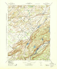
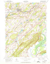
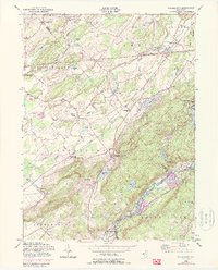
Editions of this 2023 Blairstown Map
This is the sole edition of this map. No revisions or reprints were ever made.
Historical Maps of Kalarama Through Time
6 maps found