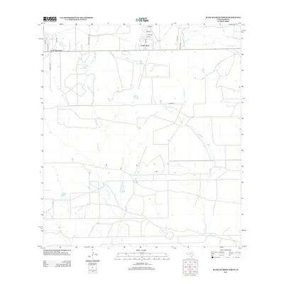
2013 Map of Blancas Creek North
USGS Topo · Published 2013About this map
Laredo Ranchettes and Pueblo Nuevo stand as primary settlements in this region of Webb County, Texas, just north of the city of Laredo. The landscape is defined by the ephemeral drainages of Dolores Cr and Blancas Cr, which carve through the brushy terrain toward the Rio Grande. Water remains a central feature in this semi-arid environment, with Trevino Lake and Flores Lake providing rare catchments alongside the seasonal flow of Lobo Cr.
Find a feature on this map
20 named features on this map. Tap any name to fly to it.
Don’t see what you’re looking for? This feature index may not catch every label — zoom into the map to look around manually.
Map Details
Editions of this 2013 Blancas Creek North Map
This is the sole edition of this map. No revisions or reprints were ever made.
Other maps of this area

1933 · Becerra Creek
USGS Topo · 1:62,500

1937 · Aguilete Creek
USGS Topo · 1:62,500

1940 · Aguilares
USGS Topo · 1:62,500

1956 · Laredo East
USGS Topo · 1:62,500

1956 · Laredo
USGS Topo · 1:250,000

1965 · Tios Creek
USGS Topo · 1:24,000

1965 · Laredo East
USGS Topo · 1:24,000

1979 · Laredo South
USGS Topo · 1:24,000

1979 · O'Keefe Lake
USGS Topo · 1:24,000

1980 · Blancas Creek North
USGS Topo · 1:24,000
Featured Places
- Laredo, TX
- San Carlos Number 2 Colonia, TX
- Las Blancas Colonia, Laredo
- Laredo Ranchettes, TX
- San Carlos Number 1 Colonia, TX