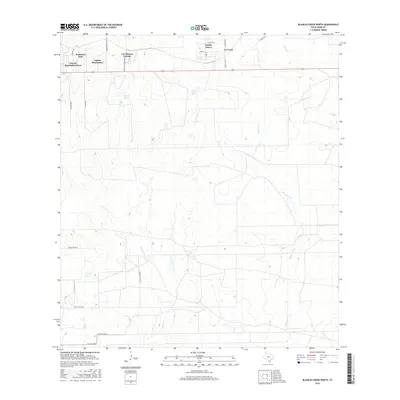
2016 Map of Blancas Creek North
USGS Topo · Published 2016About this map
Las Blancas Colonia and several rural residential developments north of Laredo define this South Texas landscape in the mid-2010s. The area demonstrates a shift from traditional ranching to suburban expansion, with settlements like Laredo Ranchettes and Pueblo Nuevo clustered along the north side of Highway 359. Local water features, including Trevino Lake and Flores Lake, suggest the importance of surface water management in this arid Brush Country environment. The terrain is bisected by numerous seasonal drainages such as Blancas Creek and Dolores Creek, which carve winding paths through the low-elevation scrubland. To the west, Ranchitos East and Laredo Ranchettes West show the densest street grids, while the eastern portion remains characterized by large tracts accessed by private ranch roads.
Find a feature on this map
29 named features on this map. Tap any name to fly to it.
Don’t see what you’re looking for? This feature index may not catch every label — zoom into the map to look around manually.
Map Details
Editions of this 2016 Blancas Creek North Map
This is the sole edition of this map. No revisions or reprints were ever made.
Other maps of this area

1933 · Becerra Creek
USGS Topo · 1:62,500

1937 · Aguilete Creek
USGS Topo · 1:62,500

1940 · Aguilares
USGS Topo · 1:62,500

1956 · Laredo East
USGS Topo · 1:62,500

1956 · Laredo
USGS Topo · 1:250,000

1965 · Tios Creek
USGS Topo · 1:24,000

1965 · Laredo East
USGS Topo · 1:24,000

1979 · Laredo South
USGS Topo · 1:24,000

1979 · O'Keefe Lake
USGS Topo · 1:24,000

1980 · Blancas Creek North
USGS Topo · 1:24,000
Featured Places
- Laredo, TX
- San Carlos Number 2 Colonia, TX
- Las Blancas Colonia, Laredo
- Laredo Ranchettes, TX
- San Carlos Number 1 Colonia, TX