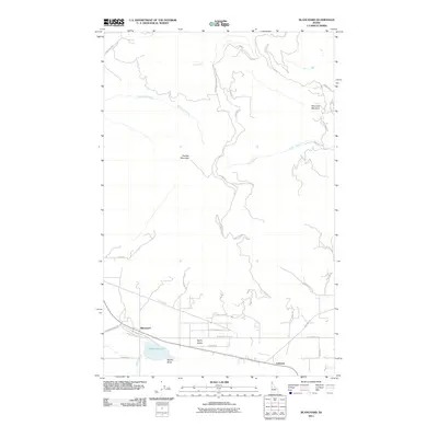
2011 Map of Blanchard
USGS Topo · Published 2011About this map
Blanchard sits at the nexus of valley floor and mountain slopes, serving as the primary settlement in this corner of Idaho. The landscape is defined by the transition from the high summit of Hoodoo Mountain down into the productive basin of Spirit Valley. This 2011 survey captures a rural network shaped by water and elevation, where Blanchard Lake and the drainage of Blanchard Creek anchor the local geography. Several smaller communities and named locales, such as Coleman and Spirit Valley, illustrate the residential clustering along the State Route 41 corridor.
Find a feature on this map
36 named features on this map. Tap any name to fly to it.
Don’t see what you’re looking for? This feature index may not catch every label — zoom into the map to look around manually.
Map Details
Editions of this 2011 Blanchard Map
This is the sole edition of this map. No revisions or reprints were ever made.
Other maps of this area

1901 · Sandpoint
USGS Topo · 1:125,000

1901 · Spokane
USGS Topo · 1:125,000

1903 · Rathdrum
USGS Topo · 1:125,000

1911 · Priest Lake
USGS Topo · 1:250,000

1911 · Sandpoint
USGS Topo · 1:125,000

1913 · Priest Lake
USGS Topo · 1:250,000

1936 · Newport
USGS Topo · 1:96,000

1942 · Newport
USGS Topo · 1:125,000

1943 · Mt Spokane
USGS Topo · 1:62,500

1950 · Mt Spokane
USGS Topo · 1:62,500