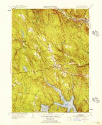
1955 Map of Blandford
USGS Topo · Published 1956About this map
Blandford and Huntington occupy a landscape shaped by significant water management projects in the mid-1950s. The massive Cobble Mountain Reservoir and Borden Brook Reservoir dominate the southern topography, indicating the region's importance as a watershed for the surrounding Massachusetts communities. Transportation corridors are clearly transitioning here, as the established Boston and Albany railroad line in the north contrasts with the emerging path of the Mass Turnpike cutting through the Blandford State Forest. Local history is preserved in several small burial grounds, including the North Blandford Cem and the Warfield Cem. The map also reveals industrial and agricultural markers such as a Gravel Quarry near Walnut Hill and the winding Stage Road, reflecting a rural economy balancing traditional routes with modern infrastructure.
Find a feature on this map
45 named features on this map. Tap any name to fly to it.
Don’t see what you’re looking for? This feature index may not catch every label — zoom into the map to look around manually.
Map Details
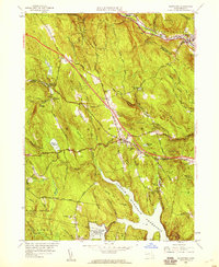
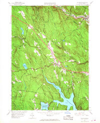
Editions of this 1955 Blandford Map
3 editions found
Other maps of this area

1886 · Chesterfield
USGS Topo · 1:62,500

1886 · Becket
USGS Topo · 1:62,500

1887 · Granville
USGS Topo · 1:62,500

1888 · Becket
USGS Topo · 1:62,500

1888 · Sandisfield
USGS Topo · 1:62,500

1888 · Chesterfield
USGS Topo · 1:62,500

1889 · Granville
USGS Topo · 1:62,500

1893 · Granville
USGS Topo · 1:62,500

1893 · Chesterfield
USGS Topo · 1:62,500

1893 · Becket
USGS Topo · 1:62,500