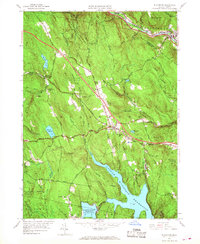
1955 Map of Blandford
USGS Topo · Published 1968About this map
Blandford and North Blandford occupy a landscape shaped by early transportation routes and modern engineering. The General Knox Stage Road and General Knox Stage Trail cut through the hills, marking the path of 18th-century transit, while the newly added Massachusetts Turnpike and its Service Facilities signal the shift toward high-speed mid-century travel. To the north, the Boston and Albany railroad follows the curve of the West Br Westfield River through Huntington.
Find a feature on this map
77 named features on this map. Tap any name to fly to it.
Don’t see what you’re looking for? This feature index may not catch every label — zoom into the map to look around manually.
Map Details
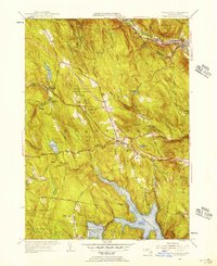
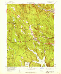
Editions of this 1955 Blandford Map
3 editions found
Other maps of this area

1886 · Chesterfield
USGS Topo · 1:62,500

1886 · Becket
USGS Topo · 1:62,500

1887 · Granville
USGS Topo · 1:62,500

1888 · Becket
USGS Topo · 1:62,500

1888 · Sandisfield
USGS Topo · 1:62,500

1888 · Chesterfield
USGS Topo · 1:62,500

1889 · Granville
USGS Topo · 1:62,500

1893 · Granville
USGS Topo · 1:62,500

1893 · Chesterfield
USGS Topo · 1:62,500

1893 · Becket
USGS Topo · 1:62,500