
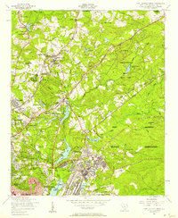
1953 Map of Blaney
USGS Topo · Published 1957About this map
The town of Blaney serves as the focal point for this mid-century survey along the Richland and Kershaw County line. The landscape is defined by the Seaboard Air Line Railroad and the Jefferson Highway, which parallel each other as they cut through the timbered terrain. Notable local centers of community life include the Bethel Camp Ground and several rural congregations such as Four O'Clock Church and Good Aim Church.
Find a feature on this map
63 named features on this map. Tap any name to fly to it.
Don’t see what you’re looking for? This feature index may not catch every label — zoom into the map to look around manually.
Map Details
Editions of this 1953 Blaney Map
This is the sole edition of this map. No revisions or reprints were ever made.
Other maps of this area

1935 · Camden
USGS Topo · 1:48,000

1935 · Killian
USGS Topo · 1:48,000

1937 · Killian
USGS Topo · 1:62,500

1938 · Camden
USGS Topo · 1:62,500

1938 · Hagood
USGS Topo · 1:62,500

1941 · Spartanburg
USGS Topo · 1:250,000

1942 · Camden
USGS Topo · 1:125,000

1953 · Messers Pond
USGS Topo · 1:24,000

1953 · Blythewood
USGS Topo · 1:24,000
1953 · Fort Jackson North
USGS Topo · 1:24,000