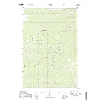
2020 Map of Blankenbaker Flats
USGS Topo · Published 2020About this map
Lewis & Clark National Forest encompasses the high-altitude terrain where Cascade and Meagher counties meet in this 2020 survey. The landscape is defined by the sharp divide of Deep Creek Ridge and Monument Ridge, which separate the drainage of the N Fork Deep Cr from the lower Blankenbaker Flats. This area serves as a significant hydrological headwaters region, with numerous waterways including Logging Cr and Sand Coulee Cr carving out deep features like Devil Canyon and Wild Rock Canyon.
Find a feature on this map
40 named features on this map. Tap any name to fly to it.
Don’t see what you’re looking for? This feature index may not catch every label — zoom into the map to look around manually.
Map Details
Editions of this 2020 Blankenbaker Flats Map
This is the sole edition of this map. No revisions or reprints were ever made.
Other maps of this area

1886 · Great Falls
USGS Topo · 1:250,000

1886 · Fort Logan
USGS Topo · 1:250,000

1886 · Little Belt Mts.
USGS Topo · 1:250,000

1890 · Fort Benton
USGS Topo · 1:250,000

1892 · Fort Benton
USGS Topo · 1:250,000

1894 · Little Belt Mts.
USGS Topo · 1:250,000

1897 · Fort Benton
USGS Topo · 1:250,000

1897 · Little Belt Mts.
USGS Topo · 1:250,000

1898 · Little Belt Mts.
USGS Topo · 1:250,000

1902 · Little Belt Mts.
USGS Topo · 1:250,000