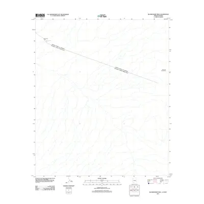
2011 Map of Blankenship Well
USGS Topo · Published 2011About this map
The international border between the United States and Mexico bisects this arid stretch of Pima County, defining the spatial organization of the region. Life in this desert environment is anchored by the presence of water and ranching infrastructure, most notably at the Blankenship Ranch and the nearby Blankenship Well. The landscape is dominated by complex drainage patterns flowing from the eastern uplands, where the Sierra de Santa Rosa rises along the eastern margin. This map documents a sparsely populated but geographically significant transit corridor where ranching outposts serve as the primary landmarks in an otherwise open terrain of alluvial fans and desert washes.
Find a feature on this map
4 named features on this map. Tap any name to fly to it.
Don’t see what you’re looking for? This feature index may not catch every label — zoom into the map to look around manually.
Map Details
Editions of this 2011 Blankenship Well Map
This is the sole edition of this map. No revisions or reprints were ever made.
Other maps of this area

1954 · Sonoyta
USGS Topo · 1:250,000

1963 · Lukeville
USGS Topo · 1:62,500

1963 · Lukeville
USGS Topo · 1:250,000

1963 · Diaz Peak
USGS Topo · 1:62,500
1988 · Blankenship Well
USGS Topo · 1:24,000
1988 · Lukeville
USGS Topo · 1:24,000
1988 · Diaz Peak
USGS Topo · 1:24,000
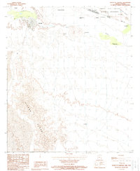
1988 · South of Lukeville
USGS Topo · 1:24,000
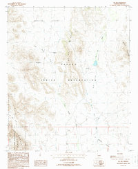
1988 · Pia Oik
USGS Topo · 1:24,000
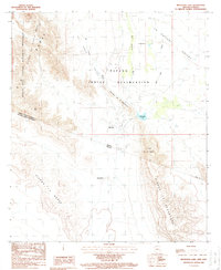
1988 · Menagers Lake
USGS Topo · 1:24,000