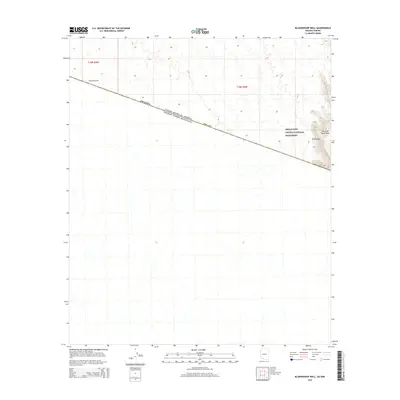
2014 Map of Blankenship Well
USGS Topo · Published 2014About this map
Organ Pipe Cactus National Monument dominates the eastern landscape of this desert corridor, where the high ridges of the Ajo Range and Sierra de Santa Rosa rise above the basin floor. The map highlights a critical stretch of the international border between the United States and Mexico, cutting across the southern portion of Pima County. This survey is focused on an arid, largely undeveloped environment where water sources like Blankenship Well were vital markers in the vast expanse of southwestern Arizona. The topography is defined by the stark transition from the alluvial fans and desert washes to the steep, craggy slopes of the eastern mountains.
Find a feature on this map
7 named features on this map. Tap any name to fly to it.
Don’t see what you’re looking for? This feature index may not catch every label — zoom into the map to look around manually.
Map Details
Editions of this 2014 Blankenship Well Map
This is the sole edition of this map. No revisions or reprints were ever made.
Other maps of this area

1954 · Sonoyta
USGS Topo · 1:250,000

1963 · Lukeville
USGS Topo · 1:62,500

1963 · Lukeville
USGS Topo · 1:250,000

1963 · Diaz Peak
USGS Topo · 1:62,500
1988 · Blankenship Well
USGS Topo · 1:24,000
1988 · Lukeville
USGS Topo · 1:24,000
1988 · Diaz Peak
USGS Topo · 1:24,000
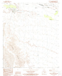
1988 · South of Lukeville
USGS Topo · 1:24,000
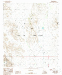
1988 · Pia Oik
USGS Topo · 1:24,000
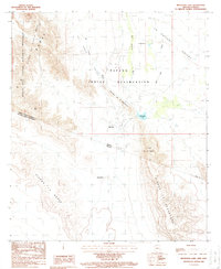
1988 · Menagers Lake
USGS Topo · 1:24,000