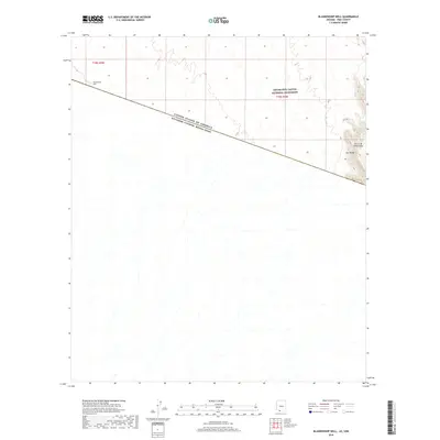
2018 Map of Blankenship Well
USGS Topo · Published 2018About this map
The international boundary between the United States of America and Estados Unidos Mexicanos cuts diagonally across this Sonoran Desert landscape, defining the southern reaches of Pima County. North of the border, the vast protected lands of the Organ Pipe Cactus National Monument dominate the terrain, characterized by a network of seasonal washes draining toward the southwest. The eastern edge of the map rises sharply into the Ajo Range and the peaks of the Sierra de Santa Rosa, providing a stark topographical contrast to the alluvial plains below. Blankenship Well stands as a solitary named human landmark in the northwest, representing the critical water infrastructure required for survival and ranching in this arid borderland environment.
Find a feature on this map
7 named features on this map. Tap any name to fly to it.
Don’t see what you’re looking for? This feature index may not catch every label — zoom into the map to look around manually.
Map Details
Editions of this 2018 Blankenship Well Map
This is the sole edition of this map. No revisions or reprints were ever made.
Other maps of this area

1954 · Sonoyta
USGS Topo · 1:250,000

1963 · Lukeville
USGS Topo · 1:62,500

1963 · Lukeville
USGS Topo · 1:250,000

1963 · Diaz Peak
USGS Topo · 1:62,500
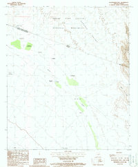
1988 · Blankenship Well
USGS Topo · 1:24,000
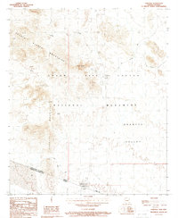
1988 · Lukeville
USGS Topo · 1:24,000
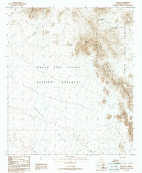
1988 · Diaz Peak
USGS Topo · 1:24,000
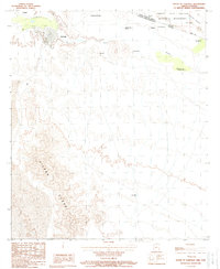
1988 · South of Lukeville
USGS Topo · 1:24,000
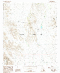
1988 · Pia Oik
USGS Topo · 1:24,000
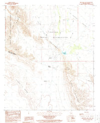
1988 · Menagers Lake
USGS Topo · 1:24,000