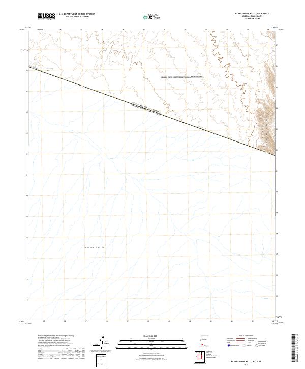
2021 Map of Blankenship Well
USGS Topo · Published 2021About this map
Organ Pipe Cactus National Monument dominates the northern portion of this borderland survey, where the arid expanse of the Sonoyta Valley meets the international boundary. The terrain is defined by the sharp rise of the Ajo Range and the Sierra de Santa Rosa in the east, providing a stark topographical contrast to the broad alluvial plains below. This map captures the modern state of the United States and Mexico border, marked clearly as United States of America Estados Unidos Mexicanos. Human presence is sparse, centered primarily on infrastructure like East Fenceline Rd and the isolated Blankenship Well. The lack of dense development underscores the remote character of this Pima County landscape, where the primary features are natural drainages and protected federal lands rather than established townships.
Find a feature on this map
9 named features on this map. Tap any name to fly to it.
Don’t see what you’re looking for? This feature index may not catch every label — zoom into the map to look around manually.
Map Details
Editions of this 2021 Blankenship Well Map
This is the sole edition of this map. No revisions or reprints were ever made.
Other maps of this area

1954 · Sonoyta
USGS Topo · 1:250,000

1963 · Lukeville
USGS Topo · 1:62,500

1963 · Lukeville
USGS Topo · 1:250,000

1963 · Diaz Peak
USGS Topo · 1:62,500
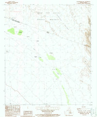
1988 · Blankenship Well
USGS Topo · 1:24,000
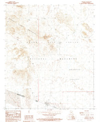
1988 · Lukeville
USGS Topo · 1:24,000
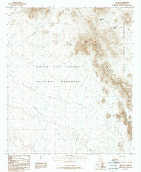
1988 · Diaz Peak
USGS Topo · 1:24,000
1988 · South of Lukeville
USGS Topo · 1:24,000
1988 · Pia Oik
USGS Topo · 1:24,000
1988 · Menagers Lake
USGS Topo · 1:24,000