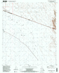
1996 Map of Blankenship Well
USGS Topo · Published 2000About this map
The international border divides this desert landscape, where the southern reaches of the Organ Pipe Cactus National Monument meet the state of Sonora. The terrain is characterized by the massive rising slopes of the Sierra de Santa Rosa and Sierra Nariz, with the ephemeral channel of the Sonoita cutting through the arid lowlands. Historical land use is evident in the presence of the Blankenship Ranch and the namesake Blankenship Well near the northern boundary.
Find a feature on this map
30 named features on this map. Tap any name to fly to it.
Don’t see what you’re looking for? This feature index may not catch every label — zoom into the map to look around manually.
Map Details
Editions of this 1996 Blankenship Well Map
This is the sole edition of this map. No revisions or reprints were ever made.
Other maps of this area

1954 · Sonoyta
USGS Topo · 1:250,000

1963 · Lukeville
USGS Topo · 1:62,500

1963 · Lukeville
USGS Topo · 1:250,000

1963 · Diaz Peak
USGS Topo · 1:62,500
1988 · Blankenship Well
USGS Topo · 1:24,000
1988 · Lukeville
USGS Topo · 1:24,000
1988 · Diaz Peak
USGS Topo · 1:24,000
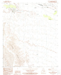
1988 · South of Lukeville
USGS Topo · 1:24,000
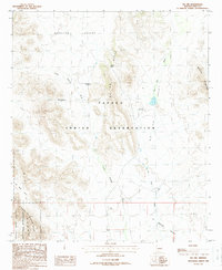
1988 · Pia Oik
USGS Topo · 1:24,000
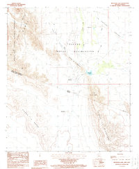
1988 · Menagers Lake
USGS Topo · 1:24,000