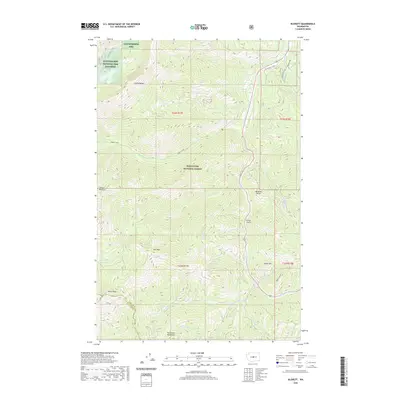
2020 Map of Blewett
USGS Topo · Published 2020About this map
The Stuart Range and Wenatchee Mountains dominate this high-elevation landscape along the boundary of Chelan Co and Kittitas Co. To the north, the Leavenworth National Fish Hatchery sits near the headwaters of Snow Creek and the alpine waters of Nada Lake and Snow Lakes. This terrain is defined by steep relief, where major drainages like Ingalls Creek and Peshastin Creek carve deep valleys between peaks such as Miller Peak and Iron Mountain.
Find a feature on this map
38 named features on this map. Tap any name to fly to it.
Don’t see what you’re looking for? This feature index may not catch every label — zoom into the map to look around manually.
Map Details
Editions of this 2020 Blewett Map
This is the sole edition of this map. No revisions or reprints were ever made.
Other maps of this area

1897 · Mount Stuart
USGS Topo · 1:125,000

1901 · Chiwaukum
USGS Topo · 1:125,000

1902 · Mount Stuart
USGS Topo · 1:125,000

1904 · Chiwaukum
USGS Topo · 1:125,000

1957 · Wenatchee
USGS Topo · 1:250,000

1961 · Liberty
USGS Topo · 1:62,500

1961 · Mount Stuart
USGS Topo · 1:62,500

1964 · Leavenworth
USGS Topo · 1:62,500

1965 · Chiwaukum Mts
USGS Topo · 1:62,500

1975 · Wenatchee
USGS Topo · 1:100,000