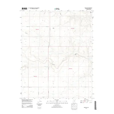
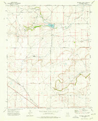
2013 Map of Blind Gap
USGS Topo · Published 2013About this map
Sand Spring serves as a critical water source in this arid corner of Union County, where the high plains transition through narrow corridors and canyon systems. The landscape is defined by its natural passages, most notably the namesake Blind Gap and the nearby Telephone Gap. These geographic breaks in the terrain dictate the flow of travel, with cattle roads and tracks like Blind Gap Rd and Campbell Rd following the logical contours of the land.
Find a feature on this map
21 named features on this map. Tap any name to fly to it.
Don’t see what you’re looking for? This feature index may not catch every label — zoom into the map to look around manually.
Map Details
Editions of this 2013 Blind Gap Map
This is the sole edition of this map. No revisions or reprints were ever made.
Other maps of this area

1954 · Dalhart
USGS Topo · 1:250,000

1958 · Dalhart
USGS Topo · 1:250,000

1962 · Dalhart
USGS Topo · 1:250,000

1972 · Mount Dora
USGS Topo · 1:24,000
1972 · Guy
USGS Topo · 1:24,000
1972 · Fiddler Springs
USGS Topo · 1:24,000

1972 · Cross L Ranch SW
USGS Topo · 1:24,000
1972 · Boiler Gap
USGS Topo · 1:24,000
1973 · Wetherly Lake
USGS Topo · 1:24,000

1973 · Grenville SW
USGS Topo · 1:24,000