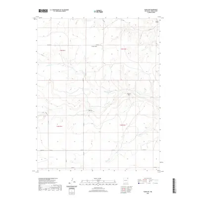
2020 Map of Blind Gap
USGS Topo · Published 2020About this map
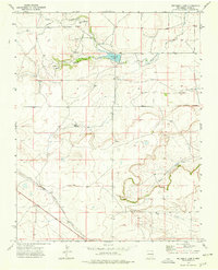
Sand Spring emerges in the southern reaches of this Union County landscape, marking a vital water source in an area defined by deep canyon systems and seasonal creek beds. The drainage network is anchored by Corrumpa Cr to the north and the converging paths of Rafaelito Cr and Rafael Cr through the center, while Sand Cr carves through the southern plains. This 2020 survey illustrates the modern rural infrastructure of northeastern New Mexico, where a grid of county roads such as Weatherly Rd and Severo Rd provides access to remote ranching land. Natural landmarks like Blind Gap and Telephone Gap serve as key passage points through the higher elevations. The topography is dominated by significant relief, including the prominent Turkey Canyon and Canario Canyon, showcasing the erosional patterns characteristic of the high plains transition.
Find a feature on this map
25 named features on this map. Tap any name to fly to it.
Don’t see what you’re looking for? This feature index may not catch every label — zoom into the map to look around manually.
Map Details
Editions of this 2020 Blind Gap Map
This is the sole edition of this map. No revisions or reprints were ever made.
Other maps of this area

1954 · Dalhart
USGS Topo · 1:250,000

1958 · Dalhart
USGS Topo · 1:250,000

1962 · Dalhart
USGS Topo · 1:250,000

1972 · Mount Dora
USGS Topo · 1:24,000
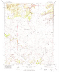
1972 · Guy
USGS Topo · 1:24,000
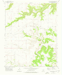
1972 · Fiddler Springs
USGS Topo · 1:24,000

1972 · Cross L Ranch SW
USGS Topo · 1:24,000
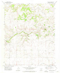
1972 · Boiler Gap
USGS Topo · 1:24,000
1973 · Wetherly Lake
USGS Topo · 1:24,000

1973 · Grenville SW
USGS Topo · 1:24,000