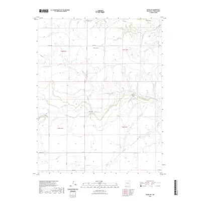
2023 Map of Blind Gap
USGS Topo · Published 2023About this map
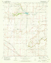
Blind Gap and Telephone Gap define the high-plateau drainage of northeastern Union County, where an intricate network of arroyos and canyons shapes the landscape. The hydrology of this high-altitude region is dominated by ephemeral watercourses such as Corrumpa Creek and Rafaelito Creek, which cut through the terrain. The presence of Sand Spring near the southern boundary suggests a critical water source in an otherwise arid environment.
Find a feature on this map
22 named features on this map. Tap any name to fly to it.
Don’t see what you’re looking for? This feature index may not catch every label — zoom into the map to look around manually.
Map Details
Editions of this 2023 Blind Gap Map
This is the sole edition of this map. No revisions or reprints were ever made.
Other maps of this area

1954 · Dalhart
USGS Topo · 1:250,000

1958 · Dalhart
USGS Topo · 1:250,000

1962 · Dalhart
USGS Topo · 1:250,000

1972 · Mount Dora
USGS Topo · 1:24,000
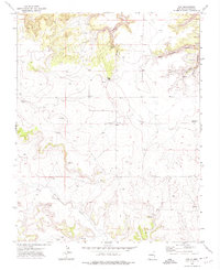
1972 · Guy
USGS Topo · 1:24,000
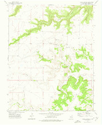
1972 · Fiddler Springs
USGS Topo · 1:24,000

1972 · Cross L Ranch SW
USGS Topo · 1:24,000
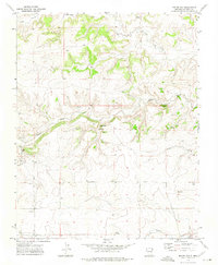
1972 · Boiler Gap
USGS Topo · 1:24,000
1973 · Wetherly Lake
USGS Topo · 1:24,000

1973 · Grenville SW
USGS Topo · 1:24,000