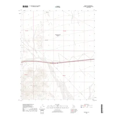
2018 Map of Blind Hills
USGS Topo · Published 2018About this map
Mojave National Preserve encompasses much of this arid landscape in eastern San Bernardino County, where the topography is defined by the sharp transition between the open Mojave Desert and the high peaks of the Clipper Mountains. The map reveals a network of natural water and drainage features essential to desert survival, such as Hummingbird Spring and the long course of Black Canyon Wash. These landmarks provided vital waypoints for travel and early ranching in a region where water sources are rare. The infrastructure of the area is represented by Essex Rd and the interstate corridor, which cut across the bajadas below the Blind Hills. This modern survey details the protected wilderness status and land management boundaries of the early 21st century, illustrating how contemporary conservation efforts overlay historical desert landmarks like Halfway Hill.
Find a feature on this map
12 named features on this map. Tap any name to fly to it.
Don’t see what you’re looking for? This feature index may not catch every label — zoom into the map to look around manually.
Map Details
Editions of this 2018 Blind Hills Map
This is the sole edition of this map. No revisions or reprints were ever made.
Other maps of this area

1942 · Amboy
USGS Topo · 1:250,000

1943 · Amboy
USGS Topo · 1:250,000

1943 · Essex
USGS Topo · 1:62,500

1943 · Danby
USGS Topo · 1:62,500

1943 · Fenner
USGS Topo · 1:62,500

1954 · Needles
USGS Topo · 1:250,000

1956 · Needles
USGS Topo · 1:250,000

1956 · Fenner
USGS Topo · 1:62,500

1956 · Essex
USGS Topo · 1:62,500

1956 · Colton Well
USGS Topo · 1:62,500